Andrew Fielding - Flood Risk and GIS Analyst
How did you get to where you are now?
Ever since high school I’ve known I wanted a career which was linked to geography but it was only when applying for universities that I discovered Environmental Science. It was the perfect balance from my perspective as it encompassed the elements of geography that I enjoyed and combined it with my passion for problem solving, science, and love for the outdoors.
Resulting from this, I went on to study at Edge Hill University which provided me with the foundations for my career to date. I tailored my modules around geographic information systems (GIS) and coastal management, carrying out my dissertation on the effectiveness of a dune restoration scheme at Hightown on the Sefton Coastline.
Since graduating, I worked for a small engineering consultancy (Coastal Engineering UK Ltd) before moving to JBA Consulting, where I obtained a scholarship to undertake a PGCert in Flood and Coastal Risk Management part time at Lancaster University. I’m now focusing my efforts on becoming a chartered environmentalist through CIWEM (Chartered Institute of Water and Environmental Management).
Was there anything particularly useful that helped you get into this role?
I wouldn’t be where I am now without having completed voluntary work at the Environment Agency and Sefton Metropolitan Borough Council during my second year at university. The knowledge and contacts I gained from this experience were invaluable and undoubtedly directed me to my current role.
What do you do as part of your role?
I’ve worked on a variety of projects, ranging from small scale flood risk assessments and research projects to multi-million-pound, national scale work. Typically, my day to day role involves large amounts of spatial data analysis through the use of GIS and programming, however this can vary greatly depending on project demands.
Recently I’ve been heavily involved with a research project into the applications of Natural Flood Management and the benefits it provides to ecosystem services. I’ve developed a series of national datasets representing opportunity areas for woodland planting as a means of reducing surface water run-off; whilst providing multiple benefits (e.g. carbon sequestration and increased biodiversity). In addition to this I’ve been working in a large team updating the reservoir flood mapping across England. This work involves assessing the impacts of potential reservoir breaches utilising broad scale 2D hydraulic models.
What skills and characteristics do you need for this role, apart from geographical knowledge?
It’s key to have an open mindset when it comes to carrying out my job. A lot of the work I undertake has never been done before as it’s quite heavily research focused, this means you need to be creative and often think outside of the box. Problem solving is a fundamental skill to have and you need to ensure that you can communicate your ideas clearly to both colleagues and clients. As my role has developed I’ve learnt to be more of a leader/mentor to more junior staff, reflecting on past experiences to guide and develop their skills.
What do you enjoy most about your job?
What I enjoy most about my job is that it provides me with opportunities to be creative and constantly develop new skills. My role often means I work at the forefront of new research into flood risk management and this leads to exciting projects. Almost every single study I partake in is different and it keeps you on your toes.
What advice would you give to someone wanting to go in to this career?
Research the industry and apply for voluntary work. This could be with councils, consultancies, water companies, engineering companies; there are vast amounts of opportunities. The knowledge you’ll gain from this is invaluable and there are so many different pathways to explore.
How do you maintain your knowledge and interest in geography outside of work?
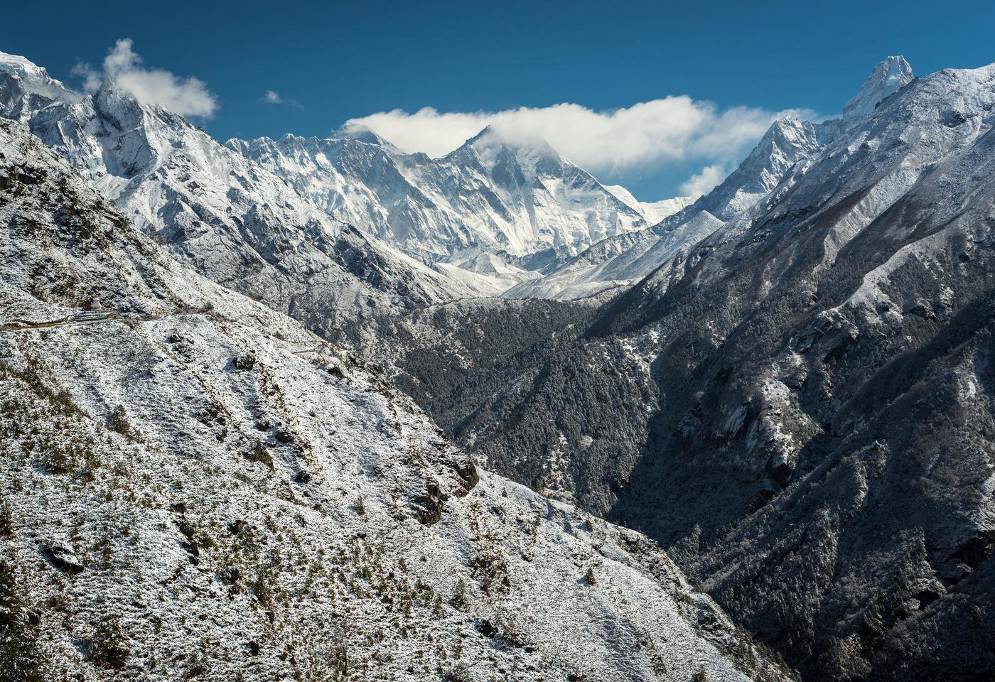
Outside of work I’m a keen climber - it’s always nice to take a break from the office and get outdoors and see new things. It’s amazing how you start to notice things you’ve learnt about/developed in work and how they are implemented. This could range from seeing a big flood defence scheme, and appreciating how it functions, to spotting some woody debris in a river channel acting as a form of natural flood management. It makes the work I do feel worthwhile; physically seeing the benefits to communities and the environment in which we live.
Why did you choose geography?
I chose geography, primarily because of my love for outdoors and science. It’s a great way of learning about the environment around you whilst improving/preserving it for generations to come. Geography binds everything we do, often in more ways than you realise.
* The information in this interview was correct at the time of publication. Please note that the featured individual may no longer be in role, but the profile has been kept for career pathway and informational purposes.
Andrew Fielding
Job title: Flood Risk and GIS Analyst
Organisation: JBA Consulting
Location: Warrington, UK