Robert Steele - Geographic Information Manager
How did you get to where you are now?
I hold a BSc (hons) in Geography and Environmental Management from the University of the West of England. During the summer post-graduation, I volunteered in various roles including being a countryside ranger. I started out as a Geographic Information (GI) Assistant in local government. GI was rapidly developing in the sector at the time so there were good prospects and opportunities to apply a variety of skills and build my knowledge. A broad range of local government functions allowed me to get into carbon management and general data exploitation/utilisation, which naturally led into roles which involved using data insight and analytics.
I’ve been a Fellow of the RGS-IBG and a Chartered Geographer since 2010.
What do you do as part of your role?
I am the corporate lead for spatial data management and utilisation. This means I am responsible for the provision of internal and external digital services, training, system optimisation, open data publication, emergency preparedness and council analytic function. Activities I carry out include managing the GIS software landscape, encouraging staff to self-serve and be more data-led, performing custom analysis work and contributing to general data analytical activities.
What skills and characteristics do you need for this role, apart from geographical knowledge?
I would say you need motivation and keenness to get out there and promote the virtues of geography, data utilisation and good data management in order to sell the service and its potential to business. You also need empathy to understand different perspectives and challenges. Attention to detail to get things right and continually improve is also necessary as well as good communication skills to get your point across to a very widespread audience (with drastically differing priorities).
How does geography feature in your work/what difference does it make?
Geography is the essential foundation for joining up all public sector activities. We can connect virtually any of our activities by common geography, to improve understanding and propose improvements. 'Location' is as important to us and society nowadays as date, time, weather, and connectivity.
What do you enjoy most about your job?
I most enjoy revealing new trends in data following analysis. Getting hold of new datasets, cleaning, refining and visualising, whether with GIS or BI tools, is very rewarding, particularly when this helps someone improve what they're doing. It’s also satisfying that work carried out in the public sector goes directly into helping wider society. My recent work to create a self-service Boundary Review Tool was one such project. This empowered our political leadership to redefine the political geographies of our borough, using fact, evidence and digital mapping.
What are the opportunities for career progression?
There are good career progression opportunities available. While you may start as a specialist, geography and the general skills of geographers (i.e. to collect and interpret data to form information/knowledge) are transferable and valuable in more senior roles. Local government does so much that there are many varied roles out there, for example I could, and have, diversified into carbon management, digital transformation, big data etc.
What advice would you give to someone wanting to go in to this career?
I would say learn the latest tools - many of which are available for free. This can put you in a very good position to hit the ground running and impress leaders when applying for and starting new positions. I would recommend things like qGIS, Tableau, PowerBI, R, Python, etc.
How do you maintain your knowledge and interest in geography outside of work?
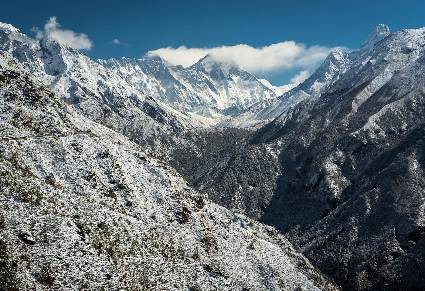
In my spare time I love getting outside, whether cycling, walking, driving, kayaking or camping. There's so much to explore and do in Britain alone! I have a small claim-to-fame in that I took the photos that appear on five front covers of various Ordnance Survey maps - including the Cotswolds, which I star in!
Why did you choose geography? Why should others choose geography?
Geography and geographical analysis generally can be applied to almost any activity, allowing you to get involved and be part of lots of different activities.
* This interview was undertaken in 2020 and was correct at the time of publication. Please note that the featured individual may no longer be in role, but the profile has been kept for career pathway and informational purposes.
Robert Steele
Job title: Geographic Information Manager
Organisation: Reigate and Banstead Borough Council
Location: Surrey, UK