Mapping what matters
Exploring children’s environmental competency through engagements with green space
In this project we invited primary aged children to draw maps to illustrate their engagements with their local environment in a context of i. growing popular environmental awareness and ii. new ways of living and working with COVID.
Introduction
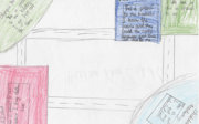
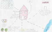
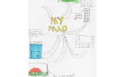
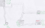
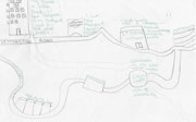
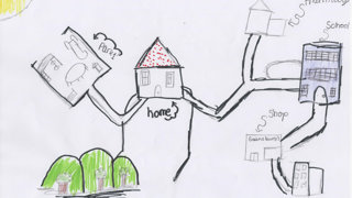
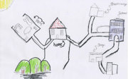
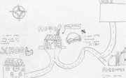
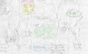
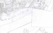
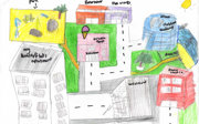
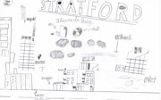
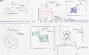
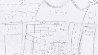
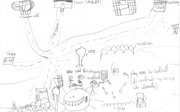
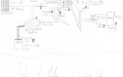
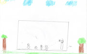
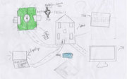
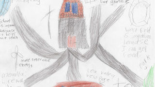
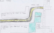
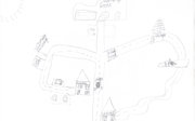
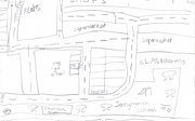
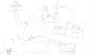
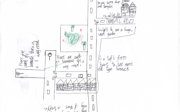
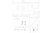
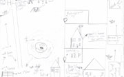
As part of the Stay Home Stories project, children and young people aged between 9 and 11 years old based at schools in Stratford, London, created maps of their local environment. Over 130 maps were collected, and these were divided into six themes: domestic green spaces, environmental awareness, physical activity, roads, family and heritage, and infrastructure.
These maps show us what children and young people value most when they think about their local environment. Across all of the themes, we can see that children feel positively about their local area and they enjoy engaging with local facilities and particularly green spaces. These maps illustrate the significance of family, friends, and the diverse wider community. They also show young people’s appreciation of eco-friendly initiatives such as environmentally friendly transport, eco-friendly homes, and sustainable energy resources.
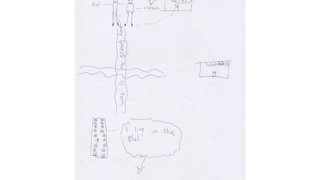
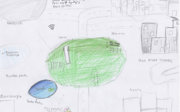
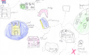
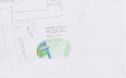
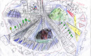
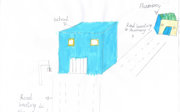
Domestic green spaces
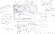
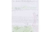
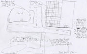
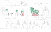
Young people used their maps to show the value that they placed on green spaces. The maps reveal an appreciation of key features such as lakes and rivers, particular trees, and the Olympic Park assumes particular importance because of the recreational green space it provides for people in the local area.

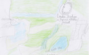


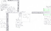


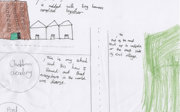
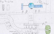
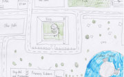
Environmental awareness
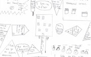
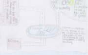
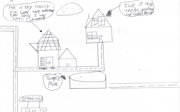
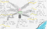
Children use their maps to highlight environmental issues that are important to them. These maps show a wish to extend green spaces, plant more trees, and look after the environment. They also reveal a desire for more environmentally friendly infrastructure, including eco-friendly buildings, electric vehicles and increased use of public transportation, as well as sustainable sources of energy such as wind turbines.


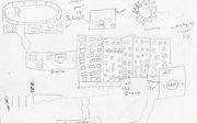
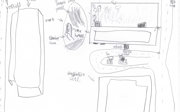
Physical activity
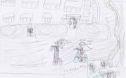
Local spaces for recreation and physical activity are very important to the young people. Maps illustrate outdoor green spaces such as parks, football pitches, and gardens, where children could play on playground equipment and enjoy games with friends. These areas also provided somewhere for children to spend time outside during the COVID-19 pandemic. There is also a suggestion that young people value spending time exercising in buildings such as gyms and the Aquatics Centre.


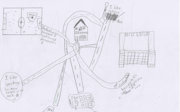
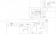
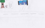
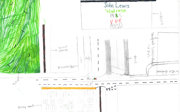
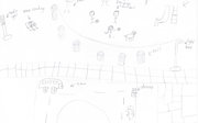
Roads
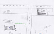
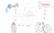
Many maps use roads as a way to link different places in the local area together or to show divisions between places. Roads and routeways are often drawn with markings down the middle to reflect where vehicles might drive. In some cases, vehicles such as buses and cars are included on the maps. Some young people drew pavements with people walking on them and bicycle paths on their maps, reflecting different more environmentally friendly modes of transport.


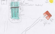
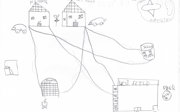
Family and heritage
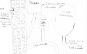
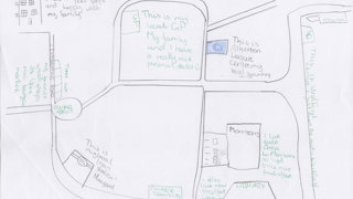
Young people used their maps to show the importance of their immediate and wider families, and to demonstrate how they engage with their own cultural heritage both locally and outside of London. Relationships with the wider community are also important to young people. The maps show an appreciation of friends, neighbours and public service workers such as GPs. The maps reflect the diverse nature of local communities.


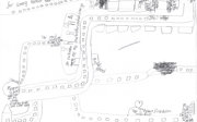
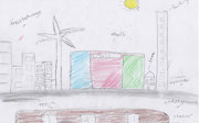
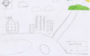
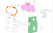
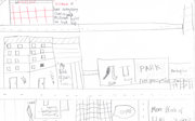
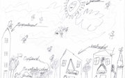
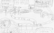
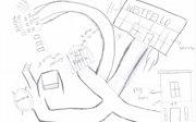
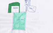
Infrastructure
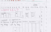
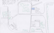
Maps reveal the importance of infrastructure in the local area. Transport facilities such as train stations and roads formed a significant aspect of these maps. Many young people drew local facilities including supermarkets, shopping centres and entertainment venues such as cinemas and the West Ham Stadium but as noted above, eco-friendly initiatives like wind turbines and solar panels also assume prominence on the maps.