Support us
As a registered charity (no 208791), we rely on your generosity.
Find out how you can support our work in advancing geographical knowledge and continuing our independent, innovative and inspirational work.
Why your support matters
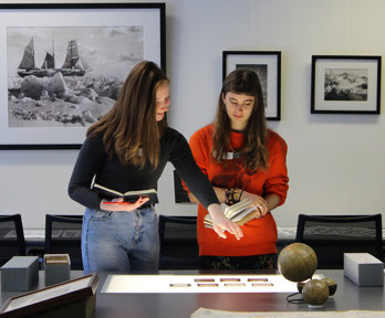
For nearly 200 years we have worked to share knowledge of our planet, care for our precious Collections and inspire the next generation to become advocates for our world.
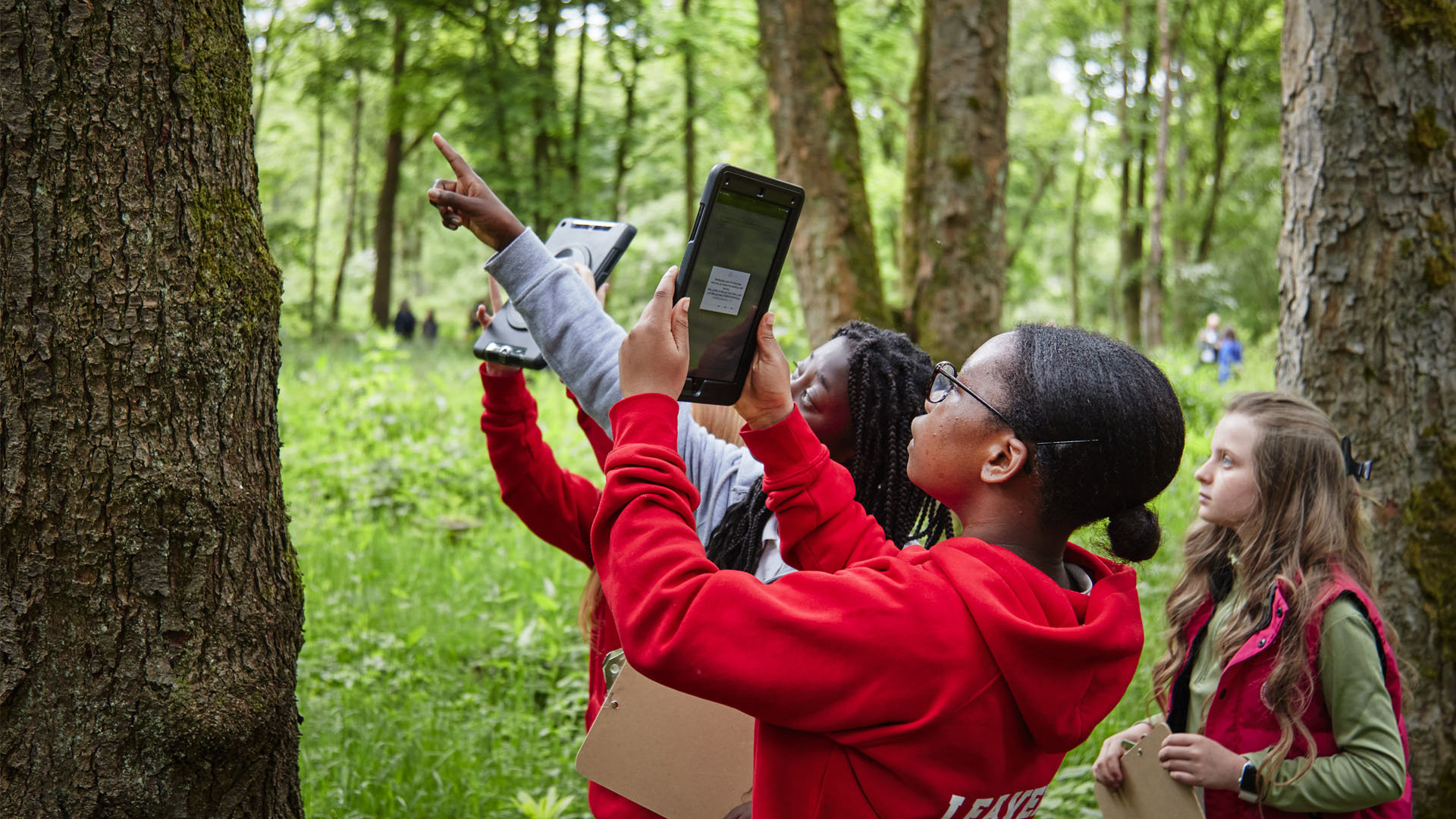
Geography is, in the broadest sense, an education for life and for living. Learning through geography – whether gained through formal learning or experientially through travel, fieldwork and expeditions – helps us all to be more socially and environmentally sensitive, better informed, and more responsible as citizens.
We are dedicated to highlighting the importance of geography in schools, supporting geographers and geographical communities, advancing geographical research in higher education and beyond, and collaborating with professional communities to guide geographers in their career development.
No matter how much you give, each and every gift we receive helps us all better understand our world.
How can I help?
Donate
Please consider supporting the Society today. Your generosity will help to sustain our independent and inspirational work.
Donate in memory
Choosing to honour your loved one’s memory by donating to a cause that they supported continues the good work that you know meant a lot to them.
Leave a gift in your will
Legacy gifts fund our activities promoting and supporting geography. As a registered charity, all legacy donations are exempt from inheritance tax.
Join us
Unlock the benefits that our network of people passionate about the planet's places and environments offers.
Thanks to our supporters
We are proud to recognise our supporters and are immensely grateful to everyone who has generously donated in support of our work.
From one off-grants to long term collaborations, corporate support as well as support from charitable trusts, foundations and statutory bodies enables us to deliver events and activities for all, as well as preserve our Grade II Listed building and improve our facilities for the future.
Our Geographical Fieldwork Grants (now RGS Explore Grants), which are open to UK-based researchers to enable them to get out into the field, are generously supported by a number of donors. These include bequests from two original Mulu expedition members – the Marjorie Sweeting Bequest and Ralph Brown Memorial Award.
Thank you.
You can learn more about the impact of our activities in our Annual Review.
Get in touch
We welcome enquiries from any grant-giving organisation, corporation, Society member, or any individual inspired by our work.
We encourage you to be in touch directly:
Join our mailing list
Geography is integral to understanding the modern world and tackling global challenges. As a registered charity, we promote geography and geographical learning worldwide.
Log in, or create an account, and sign up for our newsletter to stay up to date about our events, news and resources.