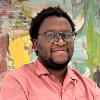
Busisani is a Chartered Geographer (CGeog) and Project Management Specialist working in global health. He uses AI and GIS to track and eliminate malaria.
He is passionate about showing students that geography is a high-tech, high impact career.
About
I am a Chartered Geographer (CGeog) with more than 15 years in public health data and GIS, mostly on malaria elimination in Zimbabwe. I use maps and data to show where disease is and where resources should go. I trained in GIS and Artificial Intelligence at the University of Leeds.
My work covers GIS and spatial analysis for public health, disease surveillance and health data, mapping and small-area modelling, and artificial intelligence and GIS in global health.
Preferences
- Location: Midlands
- Availability: daytime, evening, online
- Key stage: KS5
- Themes: environment, fieldwork and GIS
Current or most recent role
I was the Project Management Specialist in Malaria Data Management at the U.S. President's Malaria Initiative in Zimbabwe, from 2021 to 2025. I then led the data and performance work for the malaria programme, oversaw a five-year US$27 million partner agreement, and audited the data reported by four delivery partners.
Previous experience
I have presented on a Choose Geography: careers in global governance webinar and assess applications for Chartered Geographer status with the Society.
I am a certified mentor under the USAID Data-Informed Development Mentorship Certification Programme, which ran from USAID headquarters in Washington and was completed in October 2024. The programme paired mentors and mentees across country programmes, and I mentored a colleague in Pakistan through their data work.
In April and May 2025, I ran a five-session introduction to GIS and QGIS for colleagues at the USAID Health Office in Zimbabwe, taking people with no mapping background to their first map.
Before that, I trained over 720 community health volunteers across rural health facilities in malaria surveillance, and over 318 district and provincial health workers in collecting and using routine data. Most of that work was with rural communities that have very little access to science teaching.
Why I want to become a professional ambassador
As a Chartered Geographer bridging the gap between fieldwork and cutting-edge AI, I want to demonstrate to students that geography is a high-tech, high-impact career.
I use GIS to model mosquito habitats and map community health workers across entire nations. My goal is to inspire the next generation to see how geographical skills and data science can literally save lives.
Types of activities
- Talking about current job and career pathway
- Running activities about my career sector and the opportunities available; talking about what geographical skills I use at work and how geography is used in the 'real world'
- Inspiring young people to choose geography