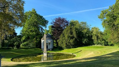
- This session presented the work behind developing data to support the government’s 15-minute commitment - which ensures that everyone has access to a blue or green spaces within a 15-minute from their home
- Speakers emphasised the importance of clearly defining the key metrics underpinning the commitment, particularly what qualifies as a green or blue space
- To support the analysis, the presenters developed a working definition which categorises spaces at doorstep, local and neighbourhood levels, using criteria such as minimum size, maximum distance and maximum journey times
- The webinar introduced a mapping methodology that links households, road networks and access points to green and blue spaces. A shortest-path analysis was then used to calculate the distance between individual households and the nearest accessible green or blue space. This approach identifies the shortest route available across the network from each household to an access point of a green or blue space
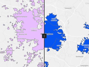
- The data developed provides an overview of households and their access to blue and green spaces across England, offered at both LSOA and MSOA level - mapping how access is distributed across different areas
- Speakers outlined the headline figures which found that 80% of households in England has access to either a green or blue space within a 15-minute walk of their home, with higher figures shown across rural areas at the neighbourhood level
Please note: The views of our speakers do not necessarily reflect the opinion of the Royal Geographical Society.
Note on captions
The Society aims to provide automatically-generated captions for all event recordings. The captions appear as text at the bottom of the video which you can toggle on and off.
The accuracy of automatically-generated captions varies depending on the audio quality, any specialist language used and the speaker. They are therefore are unlikely to be 100% accurate and the Society does not edit or correct automatically-generated captions.
- Webinar
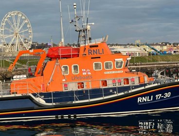
Understanding and communicating risk through geospatial applications
Hear from the Royal National Lifeboat Institution (RNLI) geospatial team on the range of tools developed to support risk assessment and decision-making across the organisation.
OnlineProfessionalsWednesday 9 September 2026 - Webinar
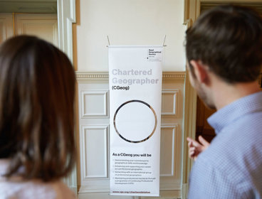
Chartered Geographer introductory webinar - September
Join this webinar on 16 September to learn more about the benefits of becoming a Chartered Geographer.
OnlineProfessionalsWednesday 16 September 2026 - Webinar
Geography in practice: The open geography portal
Join this webinar to get an early look at the brand new Open Geography Portal being developed by the ONS Geography team. You’ll learn about the datasets available, see demonstrations of key features, and discover how the portal can support your work or research.
OnlineProfessionalsWednesday 16 September 2026