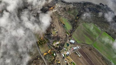
In this session, speakers discuss the role of geography in mobilising event response and logistics, real-time monitoring and communication to damage assessment, civil recovery and implementation of lessons learned.
Speakers
- Matt Pennells, MapAction
- Richard Teeuw, Professor of Geoinformatics & Disaster Risk Reduction at the University of Portsmouth
- David Heathcote, Head of Intelligence at McKenzie Intelligence Services
- Alistair Norris, independent disaster risk consultant
Hosted by co-editor, Tina Thomson, Head of Analytics and Data, Willis Re.
Please note: The views of our speakers do not necessarily reflect the opinion of the Royal Geographical Society.
Note on captions
The Society aims to provide automatically-generated captions for all event recordings. The captions appear as text at the bottom of the video which you can toggle on and off.
The accuracy of automatically-generated captions varies depending on the audio quality, any specialist language used and the speaker. They are therefore are unlikely to be 100% accurate and the Society does not edit or correct automatically-generated captions.
- Webinar

Use geography: Exploring the range of career options
Join this webinar to explore the wide variety of career opportunities available to geography graduates and gain insights to help you plan your career journey after university.
OnlineUndergraduatesWednesday 30 September 2026 - Webinar
Chartered Geographer application accelerator - October
A four-week accelerator for those eligible for Chartered Geographer to focus your efforts in preparing your application portfolio.
OnlineProfessionals1 Oct 2026 - 22 Oct 2026 - Webinar

Geography in practice: The London Heat Map
Hear about the role of heat networks in the decarbonisation of heat and how the London Heat Map is supporting their strategic planning and delivery.
OnlineProfessionalsWednesday 7 October 2026