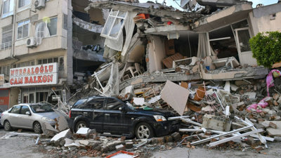
In this webinar, Dr Ekbal Hussein explores this question through the lens of one particular hazard: earthquakes.
- Using the 2023 Türkiye–Syria earthquakes as a key case study, the session demonstrated how disasters occur when hazards interact with four key factors, these being: exposure, vulnerability, corruption and ignorance
- The speaker noted how building quality, poverty, governance, and preparedness often have a greater influence on disaster outcomes than hazard magnitude itself
- The webinar highlighted the importance of multi-hazard risk, where earthquakes can trigger secondary hazards such as tsunamis, landslides and flooding. Cascading hazards, including severe winter weather, flooding and displacement were also noted as a factor in worsening disaster impacts
- The speaker highlighted that strengthening preparedness and resilience is key to reducing future disaster losses, while advances in technologies such as artificial intelligence and satellite remote sensing are enhancing hazard monitoring, damage assessment and emergency response capabilities
- The session concluded that disasters are largely shaped by human decisions and vulnerabilities and that hazard occurrence and seismic risk does not create a disaster in itself
About the speaker
Dr Ekbal Hussain is a remote sensing geoscientist at the British Geological Survey.
He is an analytical scientist with an interest in using satellite earth observation techniques to help address problems in international development, particularly in the areas of disaster risk reduction, climate change, poverty and global health.
Please note: This event recording includes strong language and adult themes. The views of our speakers do not necessarily reflect the opinion of the Royal Geographical Society.
Note on captions
The Society aims to provide automatically-generated captions for all event recordings. The captions appear as text at the bottom of the video which you can toggle on and off.
The accuracy of automatically-generated captions varies depending on the audio quality, any specialist language used and the speaker. They are therefore are unlikely to be 100% accurate and the Society does not edit or correct automatically-generated captions.
- Webinar
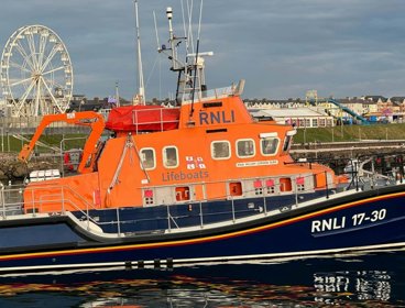
Understanding and communicating risk through geospatial applications
Hear from the Royal National Lifeboat Institution (RNLI) geospatial team on the range of tools developed to support risk assessment and decision-making across the organisation.
OnlineProfessionalsWednesday 9 September 2026 - Webinar
Chartered Geographer introductory webinar - September
Join this webinar on 16 September to learn more about the benefits of becoming a Chartered Geographer.
OnlineProfessionalsWednesday 16 September 2026 - Webinar
Geography in practice: The open geography portal
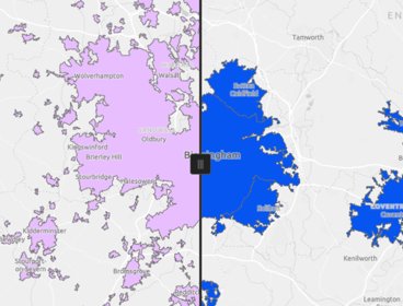
Join this webinar to get an early look at the brand new Open Geography Portal being developed by the ONS Geography team. You’ll learn about the datasets available, see demonstrations of key features, and discover how the portal can support your work or research.
OnlineProfessionalsWednesday 16 September 2026