- The session outlined the RNLI’s approach to risk and introduced the DRI (Deaths, Risk and Injuries) score, which is used to assess incident severity and identify areas of greatest operational risk.
- The Lifesaving Service Status (LSS) application was demonstrated, showing how the RNLI monitors lifeboat stations, assets and service availability in real time to support operational decision-making.
- The developing Operational Resilience Tool was showcased, which assesses service coverage and asset status, which is being enhanced with predictive modelling using factors such as weather, historical incidents and DRI scores.
- Beach Safety Assessments (BSAs) were discussed in relation to RNLI lifeguard services, helping determine whether lifeguard cover is required, how many lifeguards are needed, and what equipment should be provided.
- A risk calculator used to score beaches across the UK was also demonstrated.
- The Lifeguard Services application was demonstrated, bringing together internal and external data to support risk assessment, operational planning and beach safety management.
- The session highlighted the RNLI’s Strategy 2040, delivered through a series of five-year plans, and emphasised the importance of geospatial analysis in understanding current and future coastal risks, including the impacts of climate change, flooding and coastal erosion on RNLI services and infrastructure.
- The session concluded highlighting the importance of geospatial data in supporting the RNLI to have the right resources in the right locations, ensuring the most effective use of resources and continued delivery of lifesaving services.
- Webinar

Chartered Geographer introductory webinar - September
Join this webinar on 16 September to learn more about the benefits of becoming a Chartered Geographer.
OnlineProfessionalsWednesday 16 September 2026 - Webinar
Geography in practice: The open geography portal
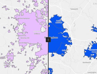
Join this webinar to get an early look at the brand new Open Geography Portal being developed by the ONS Geography team. You’ll learn about the datasets available, see demonstrations of key features, and discover how the portal can support your work or research.
OnlineProfessionalsWednesday 16 September 2026 - Webinar

Professional insights: using mentoring to elevate your career
Join our interactive lunchtime webinar to gain valuable insights from experienced professionals as they share their knowledge, experiences and practical advice.
OnlineProfessionalsTuesday 22 September 2026