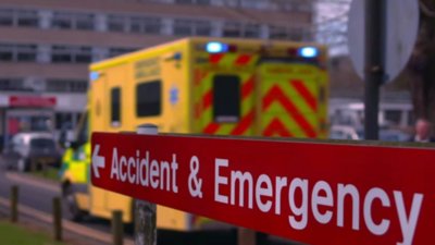
Multi-Agency Incident Transfer (MAIT) is an open standard designed to enable emergency services and other control rooms to share accurate, structured incident information rapidly and securely across organisational boundaries.
A key development has been the integration of MAIT with Ordnance Survey geographical data, providing a common spatial framework through which incident information can be exchanged and understood consistently by multiple agencies.
This session will explore how geographical data, location intelligence and common data standards can transform the way emergency services coordinate their response:
- moving beyond telephone-based information sharing towards interoperable
- machine-to-machine communication that can reduce delays
- improve situational awareness
- support more effective decision-making
It will consider the development and adoption of MAIT, including its growing implementation across England and Wales, and examine the wider role that authoritative geographic information can play in creating a more connected and resilient emergency-response system.
Booking information
- Advance booking for this event is required. In order to book you will need an account on our website. If you already have an account you will be prompted to log in when you click 'book now'. Please create an account if you do not have one yet (you do not need to be a member of the Society to create an account).
- This event will be held on Microsoft Teams and joining instructions will be included in your confirmation email.
If you have any questions or require assistance with your booking, please email events@rgs.org
- Webinar

Use geography: careers in sustainability
Join this webinar and hear directly from geography professionals working in sustainability. They’ll share real world insights, personal career journeys, and practical advice to help you take your first steps into this exciting sector.
OnlineUndergraduatesWednesday 4 November 2026 - Webinar
Transforming emergency and urgent care with location intelligence
In this webinar, hear from the NHS Geospatial team on their work supporting Devon ICB’s urgent care transformation.
OnlineProfessionalsThursday 5 November 2026 - Webinar

Professional insights: acting professionally
Join this webinar for an interactive lunchtime discussion on acting professionally: codes of conduct, ethics and professionalism.
OnlineProfessionalsThursday 12 November 2026