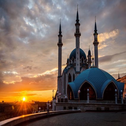
Russia, Europe, Asia and the Ural Mountains
This lesson takes a first look at Russia, a country so large that it covers two continents
Key questions
How big is Russia?
Where does Europe end and Asia begin?
How old are the Ural Mountains and how were they made?
How does the theory of plate tectonics work?
What was Pangaea and when did it exist?
What is ‘Eurasia’?
Starter
How big is Russia?
The aim of the ‘how big is Russia?’ PowerPoint is for your class to think spatially and gain both locational knowledge and place knowledge about Russia, the world’s largest country, by area.
The PowerPoint shows different ways of thinking about the size and scale of the world’s largest country.
A series of cryptic numbers are shown, and students must guess their meaning. This can be done as a book exercise, with answers at the end, or as a ‘hands up’ activity.
For instance:
-
Russia is an enormous country, twice the size of the USA and 70 times the size of the UK
-
Russia has 14 neighbours
Main Activity
Mapping Russia
Students will have between five and ten minutes to apply themselves to completing a map of Russia using the first A4 hand-out
-
A class set of the A4 hand-outs will need to be printed
-
Atlases may need to be provided
Students will add scale, the North arrow and key features (this could include: Ural Mountains, important cities, neighbour states) to an outline map of Russia
Where Europe ends and Asia begins: the Ural Mountains
The movement of plates 250-300 million years ago resulted in collision and the uplift of the Urals.
-
As a class, students will be guided through the basics of tectonic theory, with reference to the PowerPoint provided for use with the main activity. This analyses tectonic maps and movements, augmented by photographs of the Urals today.
-
A class set of A3 worksheets will need to be printed. These show six snapshots of plate positions over the last 250 million years and students need to deduce the correct sequence of events. [They may need to be helped to understand that higher sea levels can make it look as if a continent is separating, when in fact it has been partially submerged.]
-
Working in pairs or individually, students will explore the sequence of events that led to the formation of the Urals and Russia.
-
The worksheets can be peer marked, self-marked or collected for teacher assessment.
Plenary
What is ‘Eurasia’?
-
Eurasia is the focus of a brief concluding PowerPoint presentation
-
In geography, the word Eurasia can be used instead of ‘Europe and Asia’, helping us to understand Russia’s location in the world
-
This will take no more than a couple of minutes, unless students are required to make notes, in which case allow a little longer
File nameFiles
File type
Size
Download
This resource has been developed as part of the Rediscovering London's Geography project, funded by the GLA through the London Schools Excellence Fund. It seeks to improve the quality of teaching and learning of geography in London’s schools, in addition to encouraging more pupils to study geography
This resource won a Geographical Association Publishers' Silver Award in 2015