Penan delegation donates maps to the Society
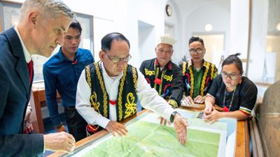
Last month, as part of the celebrations marking the legacy of the geographical survey of the Gunung Mulu National Park by the Sarawak Forestry Department and the Society in 1977-1978, we were honoured to receive a gift and donation from the Penan delegation of Sarawak.
Presented to the Society’s Director by representatives of the Penan communities, in partnership with the Bruno Manser Fund, the donation included a full set of the Penan community maps, the result of over 15 years of collaborative work to preserve Penan knowledge, heritage, and territory.
The survey of this Malaysian national park, led by Robin Hanbury-Tenison, resulted in groundbreaking discoveries, including the mapping of some of the world’s largest cave chambers and passages, such as the iconic Sarawak Chamber and Clearwater Cave. A multidisciplinary team of over 100 geographers, cavers, biologists and taxonomic scientists (notably the Royal Botanic Gardens Kew and the Natural History Museum), from 11 different nations were involved in exploring, documenting and mapping the park’s remarkable karst systems, biodiversity, and unique ecosystems.
This fieldwork was possible due to the skills and expertise of the local Berawan and Penan communities, who worked closely alongside the scientists, operating from a network of sub-camps on Gunung Mulu and near the caves and sharp limestone pinnacles of Gunung Api.
The presentation of the maps took place during a day of reflection and dialogue where leading voices, such as Professor Yadvinder Mahli and Dr June Rubis, helped shine a light on the importance of partnership between local knowledge, scientific fieldwork, and global storytelling.
On the arrival of the Penan community maps, our Cartographic Collections Manager, Dr Katie Parker, commented: “This will enhance our specific research focus on Indigenous mapping. They are a remarkable collection of maps highlighting the richness of local knowledge, recognition of traditional land tenure, and the powerful potential of participatory mapping projects.”
The maps are now fully catalogued. You can access the record here and a PDF describing the project here.
- Educational resources
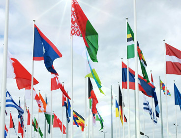
Global systems and governance resources
Global governance is not just for policymakers. Increasing knowledge about global governance and systems builds the skills needed to navigate an interconnected world.
Tuesday 7 Apr 2026 - RGS news
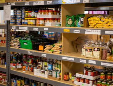
Student food poverty: The role of universities in free food provision
University students are living through a cost-of-learning crisis with many unable to afford basic necessities. While we know the significant role of schools and nurseries in free food provision, much less is known about universities.
Monday 30 Mar 2026 - RGS news
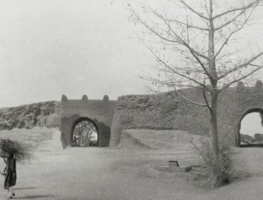
Applications open for research on Society Collections
Applications are now open for a studentship to start in autumn 2026, as part of our Collaborative Doctoral Awards programme programme.
Thursday 26 Mar 2026