Mapping and mitigating harmful invasive species
Research has made it possible to quantify and map the distribution of ragweed and carry out efficient mitigation. Mapping of ragweed has fed into forecasting models, allowing effective management of hay fever.
Issue
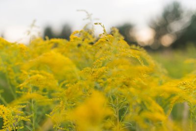
Common ragweed is one of the most prominent invasive alien species in Europe. Its pollen grains are carriers of noxious allergens that may induce severe symptoms in sensitised people. It is also a significant agricultural weed with a range that is likely to increase under climate change.
Approach
Geographers at the University of Worcester researched on the production, atmospheric distribution, and health impacts of the 12 most important aero-allergenic pollens.
Birdseed packages produced in the main source areas were heavily infested with ragweed seed, thereby providing a route of infection to other European countries.
The researchers also explored the applicability of biological control of ragweed using natural enemies. They identified that the ragweed beetle (Ophraella communa), accidentally released in the Po Valley, Italy, was the likely cause of the significant decrease in atmospheric concentrations of ragweed pollen in the region.
Impact
The research helped inform a 2012 European Directive which set the maximum levels of ragweed seeds in products intended for animal feed, particularly birds.
Since 2019, the University of Worcester has been contracted to provide pollen data for the Copernicus Atmosphere Monitoring Service (CAMS). A ragweed forecast now allows allergy sufferers to take preventive measures days before exposure and aids clinicians in the diagnosis and treatment of allergies.
Share this resource
This is an open access article under the terms of the Creative Commons Attribution License (CC BY NC 4.0), which permits use, adaptation, distribution and reproduction in any medium or format, provided the original work is cited and it is for non-commercial purposes. Please contact us for other uses.
How to cite
Royal Geographical Society (with IBG) (2023) Mapping and mitigating harmful invasive species. Available at https://rgs.org/invasivespecies Last accessed on: <date>