This online exhibition presents an introduction to the Society’s collection of printed world atlases within the wider holdings of our cartographical collection, which comprises over one million maps, charts, atlases, gazetteers and globes. The cartographical collection is the largest component of the world’s largest privately held geographical collection of over two million items, made fully accessible by a grant from the National Lottery Heritage Fund and other supporters.
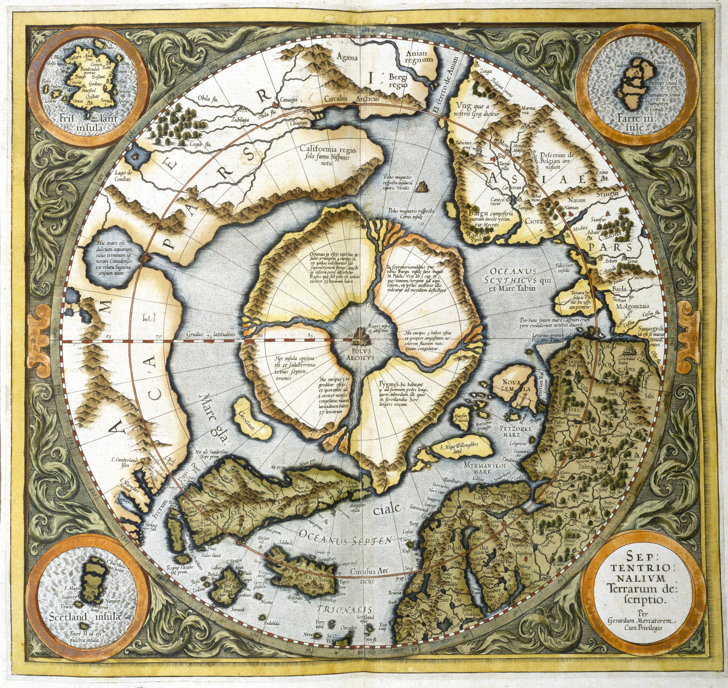
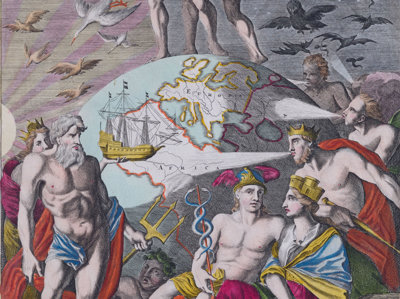
Illustrated with examples of stunning plates from the Society’s atlases, this exhibition begins with the vividly-coloured plates of the Society's 15th century Ptolemaic atlas and looks at the key cartographers and publishers in the evolution and development of the printed world atlas over a span of more than 500 years.
View the exhibition
Tip: For the best experience, we recommend viewing the content below in full screen mode - press F11 on Windows (press F11 to exit) or Ctr+Cmd+F on OS X (Apple) to enter full screen mode.
Having trouble viewing this exhibition online?
Note about captions
Within the Society’s Collections there are some historical images (and image titles or captions) which are recognised as containing unacceptable forms of language, or present image content that is considered inappropriate. In such cases, as part of its Collections policy, the Society maintains access to those images and descriptors as a source of context and information for researchers, recognising that the historical language used or image subjects in themselves do not reflect the Society’s contemporary position as an organisation wholly committed to principles of equality and diversity.
RGS print store
Selected images featured in this online exhibition can be purchased from the RGS print store.