Heather Bell - Data and Geographical Information Systems Analyst
How did you get to where you are now?
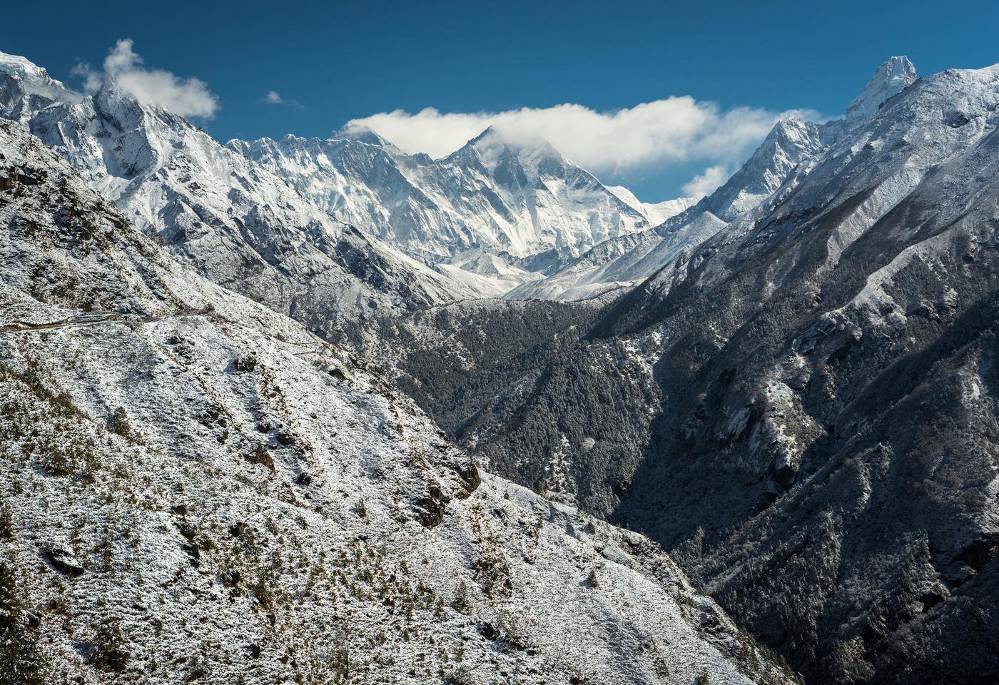
I became interested in geography at secondary school, where I studied it at A Level. When I applied to university, I decided to study physical geography because I was fascinated with physical earth systems, particularly the cryosphere (the frozen areas of earth).
At university I was fortunate to gain a place on an Erasmus exchange to Svalbard, where I spent six months studying at the University Centre in Svalbard, located in the Arctic Circle. This experience gave me a solid grounding in undertaking fieldwork in remote locations and really expanded where I could go with my degree. On returning from Svalbard, I submitted a dissertation in glaciology (study of glaciers and ice sheets).
It wasn’t a smooth route into a graduate role for me, but I did get there in the end! After graduating from Aberystwyth University with a first class degree, I was disappointed to be working in a number of low paid/skilled roles which were tenuously linked to geography. After about six months I decided to study part time for a Geography MSc at Durham University in order to further my prospects. I worked part time in the Department of Geography, who also funded the cost of my degree as a term of my employment. I now work as a Data and GIS Officer (essentially an analyst) at the Marine Management Organisation (Her Majesty’s Government) and I really enjoy my job.
Was there anything particularly useful that helped you get into this role?
Having the extra skills on my CV really gave me something to talk about in interviews and made me stand out from the crowd. I would advise everyone to try and work towards something in addition to your degree if this is the pathway that you have chosen. This doesn’t necessarily need to cost you anything financially.
When I was an undergraduate at Aberystwyth University, myself and a number of other students were able to go on a funded field trip to Ireland; I was able to do a paid internship whilst at Durham University which gave me experience in research communication and I was nominated to represent the university abroad as an ambassador for which they paid for me to go Russia to attend the first Arctic Congress which increased my professional network. Last year I also attended a number of conferences and events such as the Esri Conference in London which is free, and volunteered in my evenings and weekends to do GIS work for the Marine Conservation Society. I am sure that all of these wider experiences helped me to get into the role I am in now.
My advice would be to persevere, and if you don’t feel things are heading in the direction that you hoped straight after university or your first job, apply to do something different. It isn’t true that you need to stay in your first job for two years before moving one - if it isn’t the right position it can really hold you back. Be confident in your abilities and try and focus on how they are transferrable, and if you get offered any opportunities take them!
What do you do as part of your role?
Day-to-day my role uses Esri's software platforms including ArcGIS Desktop, ArGIS Online, and ArcPro to undertake geospatial analyses and produce cartographic representations in traditional map form, and increasingly as interactive web-apps. I have also been identifying opportunities within the organisation to use other Esri software such as Insights, Web App Builder, Story Maps, Operations Dashboard, Workforce, and Survey 123.
I work with all Marine Management Organisation (MMO) functions and stakeholders to identify critical gaps and acquire data to maintain the evidence base needed for MMO decision making. I undertake data management and quality assurance checks and maintain metadata associated with MMO corporate data assets across all systems, as well as supporting the development and delivery of MMO data services and content management, including database development. I am currently training in the use of scripting and expression languages such as Python and Arcade in order to try to automate our processes using Model Builder and Python within the business so that we can make better use of our resources.
A typical week might involve responding to members of the public with queries regarding the data which we produce and publish on our public facing GIS applications; liaising with other government bodies such as Defra, the Environment Agency, or the Crown Estate and performing geostatistical analyses for EU Exit – this has kept us very busy recently!
What skills and characteristics do you need for this role, apart from geographical knowledge?
You need to be proficient with GIS applications such as Esri and QGIS. If you don’t have an Esri licence, QGIS is free and a lot of employers are using this now over Esri products. There are lots of online tutorials that you can follow to gain experience in your own time. A little bit of Python will really help you out, and the sooner you start the better – Code Academy have free online courses in this, and it is a good way to get started.
In terms of characteristics, I would say that you need to have a good attention to detail, and be interested in solving problems using logic. Design and creativity are very useful when it comes to map making and spatial outputs, or public facing web apps using geospatial data.
What advice would you give to someone wanting to go in to this career?
I would suggest that you aim for a science degree in a geography related subject (e.g. environmental science/oceanography would also be appropriate), and specialise in GIS to some capacity. This could be achieved by doing some mapping using QGIS for a charity or university in your own time. There are many sources of free data that you can download from the internet to do your own projects. Landsat and Sentinal 2 satellite data are an option, and also a wealth of geospatial data is available on the Defra Data Services Platform under an Open Government Licence which you can use for free.
If you are able to do an MSc degree in GIS I am sure that this would help you get into a relevant position (but it isn’t usually a requirement), or otherwise, on the job work experience as a data technician may be an alternative route in.
Why did you choose geography? Why should others choose geography?
I chose geography because it fascinated me, and I enjoyed trying to understand physical processes and environmental change. Because I enjoyed it, I wanted to go to every lecture and learn everything that I could, and this passion for the subject led to my career in Geographical Information Systems. If you are interested in science, curious about how the environment works and you want to pursue a career with practical applications I would suggest that you choose geography.
Heather Bell
Job title: Data and Geographical Information Systems Analyst
Organisation: Marine Management Organisation
Location: Newcastle, UK