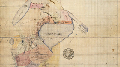
Maps and mapping play a central part in many expeditions. They help participants to plan and to plot where they’ve been. Explorers also produce their own original maps and we have an extensive collection of these in our library at the Society.
This talk will discuss such maps with a special emphasis on the collaborative effort that goes into creating them, an effort that often included Indigenous peoples. It asks what stories we can and should tell with explorers’ maps?
- Exhibition
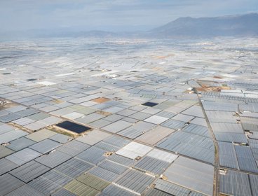
Earth Photo: Waddesdon
Visit National Trust Waddesdon to see a stunning selection of shortlisted images from this year's Earth Photo competition.
BuckinghamshireOpen to all27 Jun 2026 - 31 Jul 2026 - Exhibition
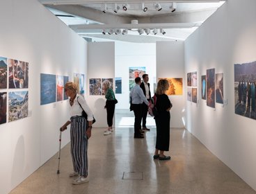
Earth Photo exhibition
The Society is pleased to showcase the winners and best in class from our international competition dedicated to engaging with still and moving image makers sharing the prescient issues affecting the climate and life on our planet.
LondonOpen to all30 Jun 2026 - 24 Jul 2026 - Exhibition
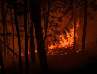
Earth Photo: Sidney Nolan Trust
Visit Sidney Nolan Trust to see a stunning selection of shortlisted images from this year's Earth Photo competition.
PresteigneOpen to all4 Jul 2026 - 6 Oct 2026