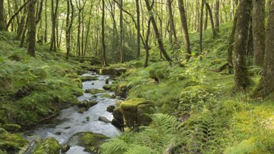
In this webinar, we were joined by Natural England who provided an overview of the ‘Living England’ habitat mapping project, which develops a monitoring framework for habitat change over time.
The session:
- Explained how the Living England Habitat Map was created using extensive field data, satellite Earth observation data, LiDAR and AI to classify 16 broad habitat types across England.
- Described the project’s machine‑learning model, as well as how accuracy and reliability are communicated across the various habitats.
- Highlighted how the mapping project supports national environmental policy, Local Nature Recovery Strategies and many other government mapping projects.
- Covered the emerging work on detecting habitat change over time, outlining the ecological, seasonal and technical challenges of distinguishing real change from natural variability or model changes.
Watch the full recording below.
About the speaker
Dr Amy Woodget a Senior Data Scientist and the Communications and Engagement Lead for the Living England project. Amy has more than 18 years’ experience in Earth observation and geospatial science, including in academia, the public and private sectors.
Amy will be joined by Living England’s Senior Data Scientists and Technical Leads - Becky Trippier, Dr Kieran McCloskey and Dr Joe Jones.
Please note: The views of our speakers do not necessarily reflect the opinion of the Royal Geographical Society.
Note on captions
The Society aims to provide automatically-generated captions for all event recordings. The captions appear as text at the bottom of the video which you can toggle on and off.
The accuracy of automatically-generated captions varies depending on the audio quality, any specialist language used and the speaker. They are therefore are unlikely to be 100% accurate and the Society does not edit or correct automatically-generated captions.
- Workshop
Place-based systems change workshop
A workshop for those working within, across and between academia, practice and policy to explore place-based systems change, examine participation and power relations within PBSC, and build community with one another.
LondonProfessionalsThursday 16 April 2026 - Webinar

Professional insights: maximising opportunities for career development
Join this webinar for an interactive lunchtime discussion on maximising opportunities for career development. Gain valuable insights from experienced professionals as they share their knowledge, experiences and practical advice.
OnlineProfessionalsThursday 16 April 2026 - Webinar

Geography in practice: Active Places Power
Hear from Sport England as they discuss their interactive mapping and reporting tool, Active Places Power (APP)—the openly available national sports facilities database.
OnlineProfessionalsTuesday 21 April 2026