What's on
Browse our in-person and online events, including our Monday night lectures, regional events and teacher CPD sessions. You can also watch a selection of our past talks.
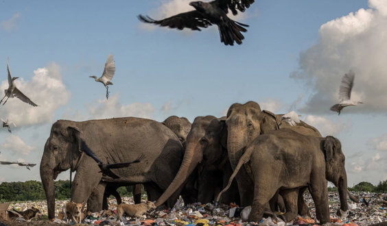
Earth Photo 2025 exhibition
Earth Photo 2025 - visit the Society to see a stunning selection of the selected and winning images from this years competition.
Find an event
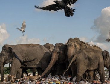
Earth Photo 2025 exhibition
Earth Photo 2025 - visit the Society to see a stunning selection of the selected and winning images from this years competition.
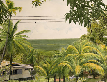
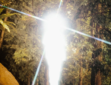
Views in the interior of Guyana 2021
Inspired by the Schomburgk Archive housed at the Society, Ann Gollifer presents a new exhibition displayed in the Director's Gallery.

Choosing geography at university - in person workshop
This in person workshop is aimed at Year 12 geography students who are considering studying geography at university.
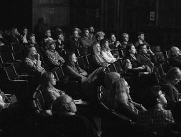
Summer film night: exploration and adventure
Join us on a summer’s evening at the Society for an exploration-themed night of thought-provoking short films that illuminate the diverse ways outdoor storytellers are putting their talents to task.
Earth Photo: Syon Park
Visit Syon Park to see a stunning selection of the selected and winning images from this years competition.

A Taste of Marley
The Taste of Marley celebration will take attendees on a musical journey that re-imagines his timeless songs in an array of genres, demonstrating the universality and adaptability of Marley’s messages.
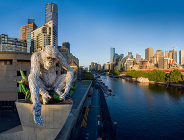
GREAT APE - Art, science and sustainability
A 13m Great Ape by artist Lisa Roet, with talks exploring art, science, and sustainability during London's Design Congress.
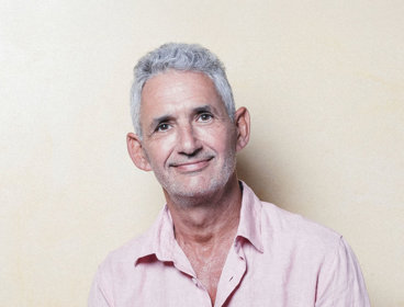
Professor Tim Spector – The life-changing power of microbes
The world-leading scientist and bestselling author of 'Food For Life', Tim Spector joins Adam Rutherford to reveal the rapidly-evolving science of fermented foods and their extraordinary effect upon health.
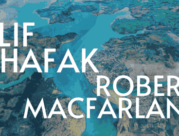
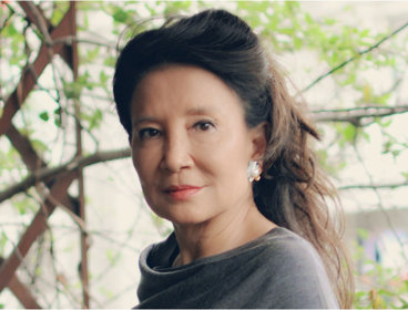
Robert Macfarlane meets Elif Shafak – Rivers of life
Join Robert Macfarlane and Elif Shafak for a deeply personal and provocative journey inviting us to reimagine the nature of rivers, stories, and life itself.
Jung Chang – Fly, Wild Swans
Banned in China, Jung Chang's Wild Swans defined a generation. Now she is back to share the hugely affecting story of her family's lives through China's rise to a global superpower.
Empowering Level 4 students with geospatial skills - CPD
In this hands-on workshop we will look at ways that you can give your 1st-year students a gentle on-ramp to GIS which gives them the confidence to use GIS to solve geographical problems.
The economics of biodiversity: valuing and financing nature
Talks and exhibition communicating outcomes from the UKRI (NERC/ESRC) Economics of Biodiversity research programme to practitioners and policymakers.