
Grants
Our grants programme develops new knowledge and advances geographical science by supporting geographical research in the UK and overseas.
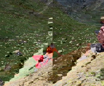
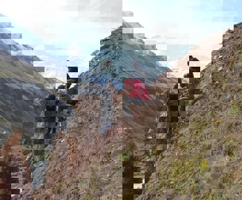
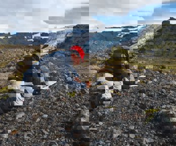
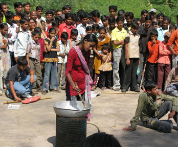
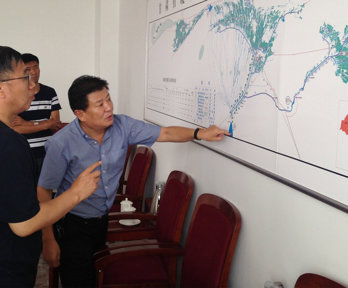
To date in 2025, with the generous support of our donors, over £165,000 of funding has been allocated to support 75 field research and school fieldwork projects, from 40 institutions. Projects are taking place in 37 countries spanning six continents. Topics range from studies of rural restructuring, livelihood diversification, and the commodification of nature in eastern Turkey, to strengthening global readiness for compounding natural hazards by learning from how scientists monitor and communicate volcanic risks in the USA.
See the full list of projects funded in 2025, and find out more about past field research supported through the Society’s grants programme in our grant stories.
Grants are available for desk-based research, fieldwork and expeditions, research into teaching and learning, and developing teaching resources. For enquiries, please contact grants@rgs.org
Grant deadlines
View our all our upcoming grant deadlines at a glance.
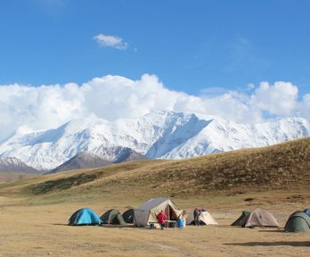
Expedition grants
Our independent travel grants support challenging and inspiring geographical journeys and expeditions all over the world.
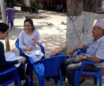
Research grants
We support a range of field and desk-based research projects, from established researchers undertaking cutting edge fieldwork to early career academics working on smaller projects.
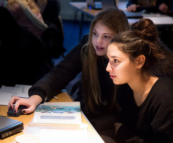
Student grants
Every year we support over 40 student fieldwork projects, from PhD students collecting data for their dissertation to groups of undergraduates looking to get out into the field for the first time.
Teaching grants
Grants to support school fieldwork and expeditions, and innovation in teaching geography at secondary and higher education level.
Guidance for Society grant applicants
Guidance and resources for applicants and recipients.
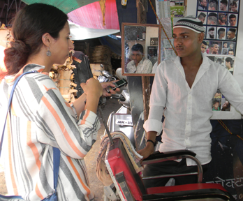
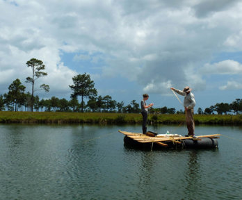
Projects supported
Projects we support cover a range of geographical topics, from volcano monitoring, to adaptations to climate change, to farmers' rights issues.
Grant stories
Hear from the Society's grant recipients as they reflect on their research, their experiences and highlights of their trip.

Becoming a grant reviewer
The grant reviewing process is essential in enabling funding organisations to support those they set out to help, as well as having benefits for applicants and reviewers.
Grants programme supporters
We have a range of donors who have supported the grants programme this year, and in past years.
Grants programme reviewers
The expertise of external screeners allows us to review hundreds of grant applications every year.