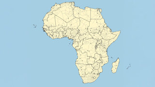
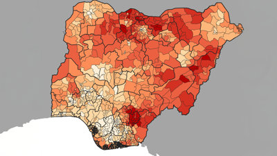
GIS is a fantastic tool which allows anyone to work with and analyse spatial data and produce maps. There are many different GIS tools available and these lessons show you how to use QGIS to produce maps and analyze spatial data. No prior knowledge is required, apart from an interest in working with spatial data!
QGIS is a friendly open source Geographical Information System (GIS) software which is compatible with many operating systems such as Windows, Mac (OSX), and Linux. If you are completely new to GIS, we would recommend starting with QGIS.

We also have material available using R. R is a scripting language and works in a very different way to QGIS, which uses a graphical interface. If you want to build on your GIS knowledge, we would recommend looking at the R material. All of the material is available in HTML or PDF format. HTML works best on screen, PDF is best if you want to print it out. The content is the same in both formats.
If you have any comments or feedback on this resource, please do let us know: nick@nickbearman.com.
We have also made the source of the material freely available via GitHub. If you have any suggestions or changes, you are welcome to make the changes directly via GitHub.
Materials
Available at: https://doi.org/10.5281/zenodo.13626798
Data
Source
This material is released under a Creative Commons Attribution-NonCommercial-ShareAlike 4.0 International License. This means you are free to share – copy and redistribute the material in any medium or format. You are free to adapt – remix, transform and build upon the material. You may not use the material for commercial purposes.
We have also made the source of the material freely available via GitHub. If you have any suggestions or changes, you are welcome to make the changes directly via GitHub.


