Careers using GIS: Humanitarian data analysis activity
This resource is created by Momin Ashraf, a geographer and Geospatial Consultant at Satellite Applications Catapult.
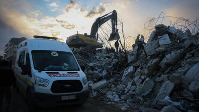
It includes a student activity exploring how Momin uses GIS and satellite imagery to support humanitarian response to disaster and conflict, and an interview with Momin detailing his career pathway with geography.
The resource provides an opportunity for students to see how geographical skills and knowledge are used in the space industry to tackle real-world challenges and emphasises the impactful work geographers do.
The resource is intended to supplement the Society's virtual work experience programme. Find out more about our virtual work experience offer and sign up for free.
File nameFiles
File type
Size
Download
Download all files