GIS in the real world - land use change
This activity is designed to get students thinking about how GIS is used in the real world across a range of job sectors; from environmental organisations, real estate agencies and public services.
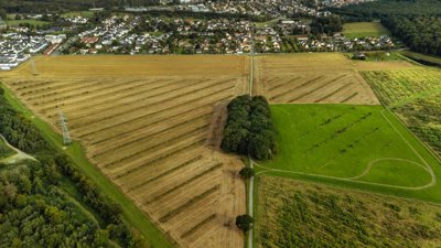
This resource has been created with support from Knight Frank’s Research Analytics Team and Esri. Esri’s Sentinel-2 Land Cover Explorer is free to access and shows land cover change on a global scale, over time.
You can access Esri’s Sentinel-2 Land Cover Explorer here: Esri | Sentinel-2 Land Cover Explorer
For more support in how to use Esri’s Sentinel-2 Land Cover Explorer: Sentinel-2 Land Cover Explorer - quickstart guide
The ultimate aim of this activity is to build students’ confidence in using GIS. It invites students to explore the Senintal-2 Land Cover Explorer to answer a simple research question – How does land use vary between National Parks in the UK? - and produce a data visualization.
The Esri StoryMap takes students through a step-by-step process of how to use the Sentiel-2 Land Cover Explorer, including short videos demonstrating each step. This process can be live-modelled by the teacher, before handing over to the students to complete the activity independently.
The activity requires students to have access to a computer.
Links to curriculum – GCSE
WJEC – 2.1 Planning and enquiry, 2.1.3, interpret relevant GIS data
OCR Geography A, 2c. 3.1 (6) Describe, interpret and analyse geo-spatial data presented in a GIS framework
OCR Geography B, 5d; describe and interpret geo-spatial data presented in a GIS framework
AQA 3.4.5 Use of qualitative and quantitative data, geo-spatial data presented in a GIS framework
Edexcel A & B; Mathematics and statistics skills, describe and interpret geo-spatial data presented in a GIS framework
Links to curriculum – A Level
AQA
A Level 3.4.1 Qualitative skills and quantitative skills ‘understanding of what makes data geographical and the geospatial technologies (e.g. GIS) that are used to collect, analyse and present geographical data. An ability to collect and use digital and geo-located data, and understand a range of approaches to use and analyse such data
OCR
4.2 Geolocated-data, a) demonstrate an ability to collect and to sue digital data through the use of geospatial technologies such as smart phones and tablet devices; b) understand the opportunities and benefits of presenting and analysing geographical data through the use of GIS
Edexcel
Geographical skills, Quantitative data a) understand what makes data geographical and the geospatial technologies (e.g. GIS) that are used to collect, analyse and present geographical data, b) demonstrate an ability to collect and to us digital, geo0located data and to understand a range of approaches to the use and analysis of such data, c) use, interpret and analyse geographical information including … satellite images, GIS
WJEC
Geographical skills, Digital and geo-located data: Geospatial technologies including .. satellite images, GIS
