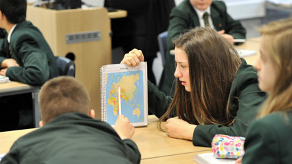
Resources for schools
We support teaching in the classroom and in the field by providing high quality geographical teaching and learning resources.
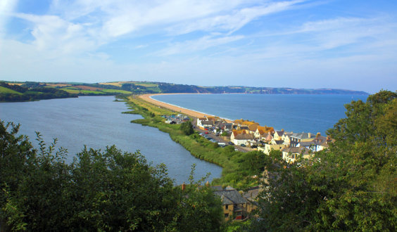
Coastal erosion and management: Slapton, Devon
A GCSE Geography teaching resource focussing on coastal erosion and management in Slapton, Devon.
Refine Search
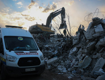
Careers using GIS: Humanitarian data analysis activity
Find out how Momin, a Geospatial Consultant, uses GIS and satellite imagery to support humanitarian response to disaster and conflict.
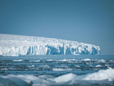
Climate change in Antarctica: essay planning
Help students build upon knowledge and understanding of climate change by looking specifically at the effects it is having on Antarctica.
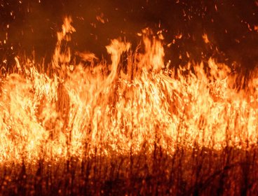
US wildfires
As 2026 has seen the highest number of wildfires in the US in a decade, we explore their impacts and how they could be managed in the future.
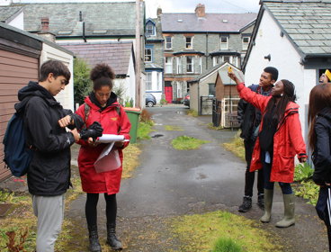
Self-led CPD: The characteristics of high-quality fieldwork
A self-led CPD module exploring the characteristics of high-quality fieldwork.
Self-led CPD: Integrating fieldwork and enquiry skills into curriculum plans
A self-led CPD module looking at how to integrate fieldwork and enquiry skills into curriculum plans.
Self-led CPD: Progression in fieldwork
A self-led CPD module looking at progression in fieldwork.
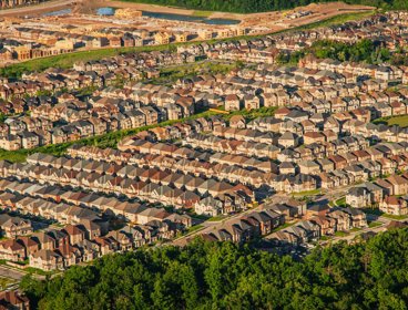
Careers that build sustainable cities: Ebbsfleet Garden City
Exploring geographical careers in the built environment sector through the lens of Ebbsfleet Garden City - a new Garden City development in Kent.
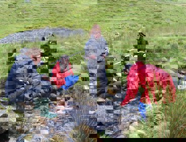
Fieldwork with Chloe Searl
Join us as we talk to Island Geographer Chloe Searl on all things fieldwork.
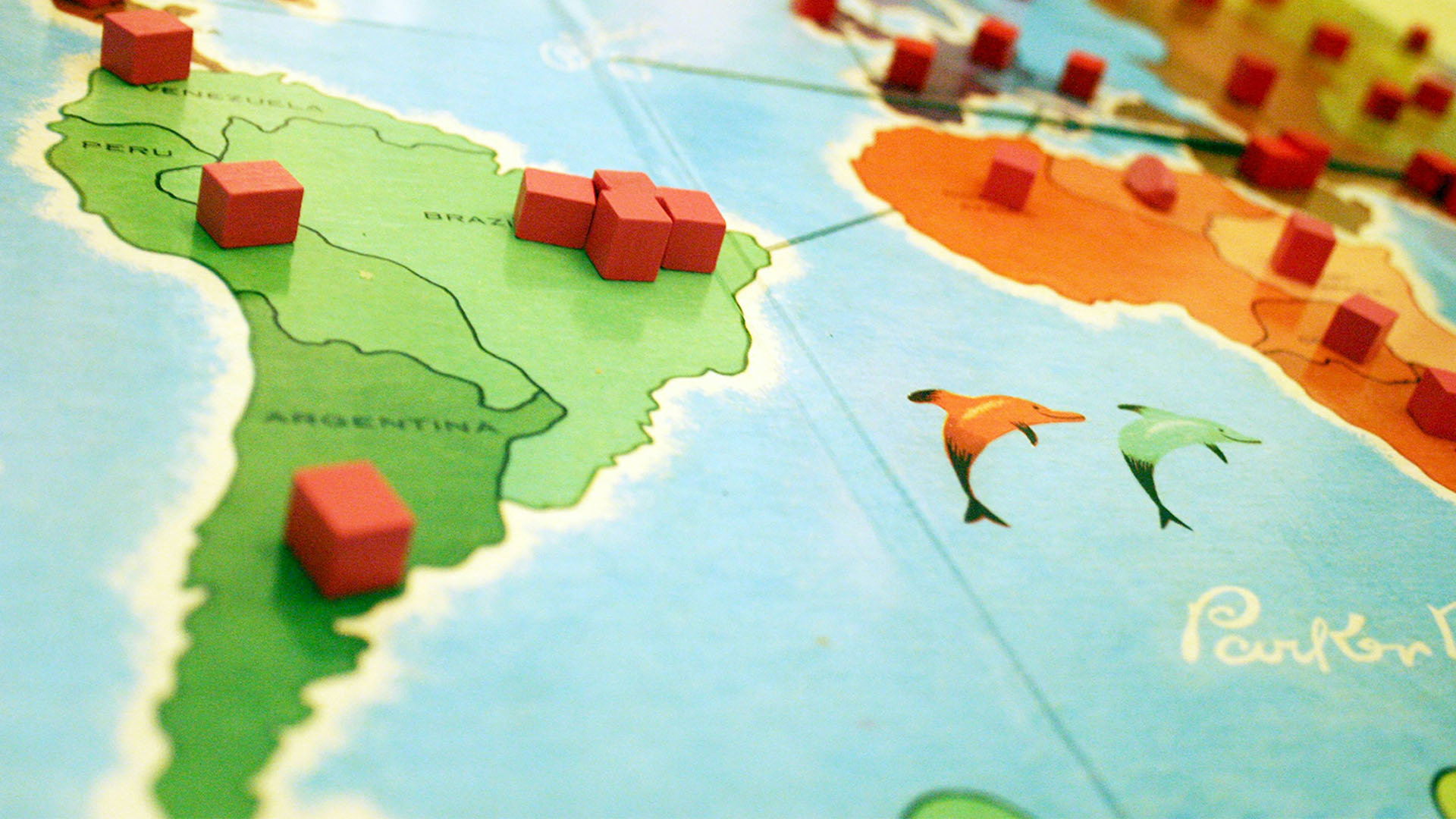
Nigeria: a newly emerging economy
Nigeria has the 30th largest economy in the world and is a Newly Emerging Economy (NEE)
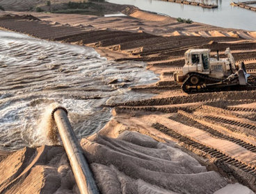
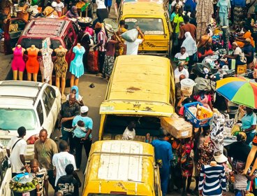
Dredging: an impact of development in Lagos
As Lagos, Nigeria’s largest city, continues to expand, huge amounts of sand are being dredged from rivers to support the contruction industry.

Opec
Looking at Opec and the announcement that the UAE will be leaving Opec and the wider Opec+ group.

Discover careers in geography with our free careers videos
Watch recordings of our careers events and find out what jobs geographers actually do.
Join as a School Member
School Members have access to a huge range of additional resources, online lectures and more.

Find out if your school is a School Member
If you are a student and not sure if your school is a School Member of the Society, please email education@rgs.org with your school name and postcode.
If your school is a Member we will email you a login and password to access our resources.