Analysing glacial sediments
The geomorphological processes operating within landscape systems result in the erosion, transport and deposition of significant quantities of sediment that can be preserved within a range of depositional landforms. The processes of sediment transport can result in the material acquiring a series of distinctive characteristics. Material deposited within a beach environment for example is well known for its highly rounded nature. These distinctive characteristics can be used to interpret the processes responsible for the deposition of sediments of unknown origin.
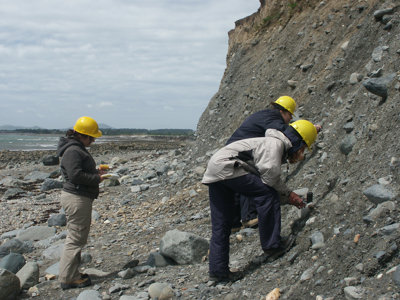
Geographers undertaking fieldwork within different landscape systems can use a variety of different sedimentological techniques to examine and describe the characteristics of the material transported and deposited within different settings. These techniques can include an examination of the morphology of any rocks or “clasts” present (clast shape and roundness analysis), their orientation (clast fabric analysis), and the amount of material of different sizes present (particle size analysis).
The development of clear links between specific geomorphic processes and sediment characteristics are central to the studies of relict landforms and landscapes that are associated with the occurrence of past geomorphic processes that are no longer in operation. This is the case in large parts of the United Kingdom where the landforms and sediments present relate to past glacial activity.
This data analysis exercise will focus on the use of clast shape and roundness data to determine the transport pathway of material in glacial environments. These techniques are routinely used by geographer firstly to help determine whether the material in question has been deposited by a glacier. The process can then be used to determine the transport pathway of the material through the glacier system, more specifically whether the material has been transported on top of the glacier (supraglacially) or below the glacier (subglacially). This can in turn help researchers to infer key aspects of the glacier such as its thermal regime and how active it was.
Read more in the lesson plan below.
Skaftafellsjokull section location (download this file and make sure you have Google Earth installed before opening it).