• Login
  • Join Us
Royal Geographical Society with IBG
  • About us
  • Geography
  • Schools
  • Professionals
  • In the field
  • Research
  • What's on

Search the Society

Enter keyword or phrase...
Find
Royal Geographical Society with IBG
Back to Resources for schools

Google Earth as a fieldwork tool

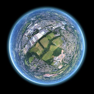
Google Earth, the free to download satellite imagery package from Google provides an excellent starting point for students to organise and present their fieldwork data

  • Key Stage Two,
  • Key Stage Three,
  • Key Stage Four,
  • Key Stage Five,
  • Fieldwork,
  • GIS

Using Google Earth, it is possible to attach maps, photos, text, data, routes and video links to aerial photographs by inserting simple html codes into the programme.

Students can create a tour of the sites they have visited and use this as a framework for presenting their primary and secondary fieldwork data.

Download your own copy of Google Earth (which is necessary if you wish to view the example provided on these pages).

Google Earth Instructions

Print out instructions (in downloads box below) for creating a Google Earth presentation to give to your students. The document covers methods of embedding photos, linking to websites and inserting text.

Google Streetview Guide

View a streetview guide compiled as part of an RGS-IBG Innovative Teaching Grant project.

Google Earth skills sheets

These skills sheets (in the downloads box below) will guide you through a range of Google Earth techniques of varying degrees of difficulty. They can also be printed off and used with your students. The skills sheets are for use with Google Earth version 4.3.

  • Finding places (PPT) - Use the search engine to fly to a place. Beginner

  • Using the 3-D viewer (PPT) - Navigate your way around using the rotate, look, move and zoom controls. Beginner

  • Using layers (PPT) - View the additional information contained in layers created by Google. Beginner

  • Opening saved placemarks (PPT) - Open Google Earth placemarks that you have saved from another source. Beginner

  • Creating a placemark (PPT) - Create and edit your own placemarks, and add labels and descriptions. Intermediate

  • Organising, saving and touring placemarks (PPT) - Save your placemarks in a folder and tour them. Intermediate

  • Creating a path (PPT) - Draw, label, format and describe a route between two or a series of points. Intermediate

  • Measuring distance (PPT) - Find out the distance between two points or the length of a path in a range of units. Intermediate

  • Advanced placemarks (PPT) - Format placemark text and add images, video and weblinks. Advanced

  • Creating a polygon (PPT) - Draw a polygon to highlight a particular area and create a 3-D shape to represent different values. Advanced
Downloads

  • Google Earth as a Fieldwork Tool Instructions (.doc)
  • Google Earth as a Fieldwork Tool Instructions (.pdf)
  • Google Earth as a Fieldwork Tool Finding Places Presentation (.ppt)
  • Google Earth as a Fieldwork Tool Using the 3D Viewer Presentation (.ppt)
  • Google Earth as a Fieldwork Tool Using Layers Presentation (.ppt)
  • Google Earth as a Fieldwork Tool Opening Saved Placemarks Presentation (.ppt)
  • Google Earth as a Fieldwork Tool Creating a Placemark Presentation (.ppt)
  • Google Earth as a Fieldwork Tool Organising, Saving and Touring Placemarks Presentation (.ppt)
  • Google Earth as a Fieldwork Tool Creating a Path Presentation (.ppt)
  • Google Earth as a Fieldwork Tool Measuring Distance Presentation (.ppt)
  • Google Earth as a Fieldwork Tool Advanced Placemarks Presentation (.ppt)
  • Google Earth as a Fieldwork Tool Creating a Polygon Presentation (.ppt)
  • Download all

Login

Sign in
Forgotten password

Or continue as a guest...

By placing a booking, you are permitting us to store and use your (and any other attendees) details in order to fulfil the booking.
We will not use your details for marketing purposes without your explicit consent.

Continue

This content is restricted

You must be a member holding a valid Society membership to view the content you are trying to access. Please login to continue.


Not a member? Find out how to join

Join us today, Society membership is open to anyone with a passion for geography

Find out more

Address

Royal Geographical Society
(with the Institute of British Geographers),
1 Kensington Gore,
London, SW7 2AR

Registered Charity, 208791

E enquiries@rgs.org

T +44 (0)20 7591 3000
 

Follow us

We are the learned society for geography and geographers. Be part of our community by following us on our social media accounts.

  • twitter
  • youtube
  • linkedin
  • facebook
  • instagram

Links

  • MYSOCIETY LOGIN
    Vacancies
    PRESS AND MEDIA
    HIRE OUR VENUE
    PRIVACY NOTICE
    Accessibility
    SITE MAP

  •  

Cookies on the RGS website This site uses cookies to enhance your user experience.