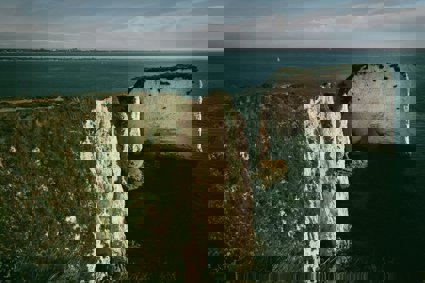
Old Harry Rocks
Old Harry Rocks is the first major point of interest along the UNESCO World Heritage Site of the Jurassic Coast
Old Harry Rocks is the first major point of interest along the UNESCO World Heritage Site of the Jurassic Coast which covers the coast of Dorset and East Devon to Orcombe Point near Exmouth.
Old Harry and his wife are chalk stacks and stumps respectively and were at one time part of a chalk seam that stretched from Purbeck to the Isle of Wight which included the Needles. With the rise of water after the last Ice Age the sea took its toll on the chalk cliffs.
The chalk itself is a soft, white, porous sedimentary rock, a form of limestone composed of the mineral calcite. It forms under relatively deep marine conditions from the gradual accumulation of minute calcite plates (coccoliths) shed from trillions of micro-organisms called coccolithophores. It is common to find flint nodules embedded in chalk which are thought to be the silicon remains of sponge beds. The appearance of the chalk from the promontory at Old Harry is quite regular with the bedding planes and joints almost looking like laid breeze blocks.
The chalk strata at Old Harry are on a horizontal plane as clearly shown by the the sand and grit line that runs through No Mans Land, Old Harry and on through the Needles, whilst within two kilometres south the chalk strata flollows and vertical plane at Ballard fault. The cause of this fault is in dispute but it is probally the result of the African and European plate collision some 30 million years age that also caused the Lulworth Crumple.
The creation of Old Harry starts at a headland with the sea exploiting a crack in the chalk joints and slowly creating a cave. As the sea gradually eroded along the joints and bedding planes the cave eventually created an arch which then collapsed to leave the stack of Old Harry, No Mans Land and the gap of St Lucas' Leap. In the 1770's, people could still walk from the headland of Handfast Point to Old Harry. Old Harry's wife was still a stack until her eventual collapse in 1896 to render her a stump. Due to the horizontal strata the wave cut platforms still provide a footing for the stack and stump at low tide and to a lesser extent the two pinnacles to the south.
Due to the isolation of the stacks and the steep cliffs they have been colonised by breeding sea birds and also by peregrine falcons. The geology of the area gives rise to chalk grassland and associated plants, flowers, insects and rare birds such as the skylark. The area is managed by the National Trust to encourage species diversity by mowing and grazing. The names of the areas owe themselves to tales of smugglers, the devil, greyhounds and even pre-Roman weddings.
Coastal processes - Old Harry Rocks
-
Formation of stacks and stumps
-
Geology
-
World Heritage Site
-
Habitats
Data collection
Measure:
-
Vegetation type, transects, quadrats
-
Footpath quadrats
-
Wind speed
-
Visitor numbers
Review - Statistical
-
Environmental Quality Survey
-
Vegetation type from paths (cliffs)
-
People numbers
Review - Presentation
-
Annotated sketches
-
Base maps
-
Kite diagrams
File nameFiles
File type
Size
Download