This KS3 unit offers a series of sessions, complete with lesson plans and activities to guide teachers and students in an exploration of mapping (and related themes), focussing on England’s bustling capital city: London. It will take you on a journey through the way that this fascinating city has been presented and represented over the years. Along the way it also takes in a wider range of Geographical themes, and provides numerous opportunities to develop and apply skills and knowledge taken from Curriculum 2014.
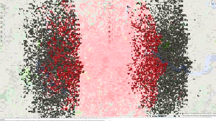
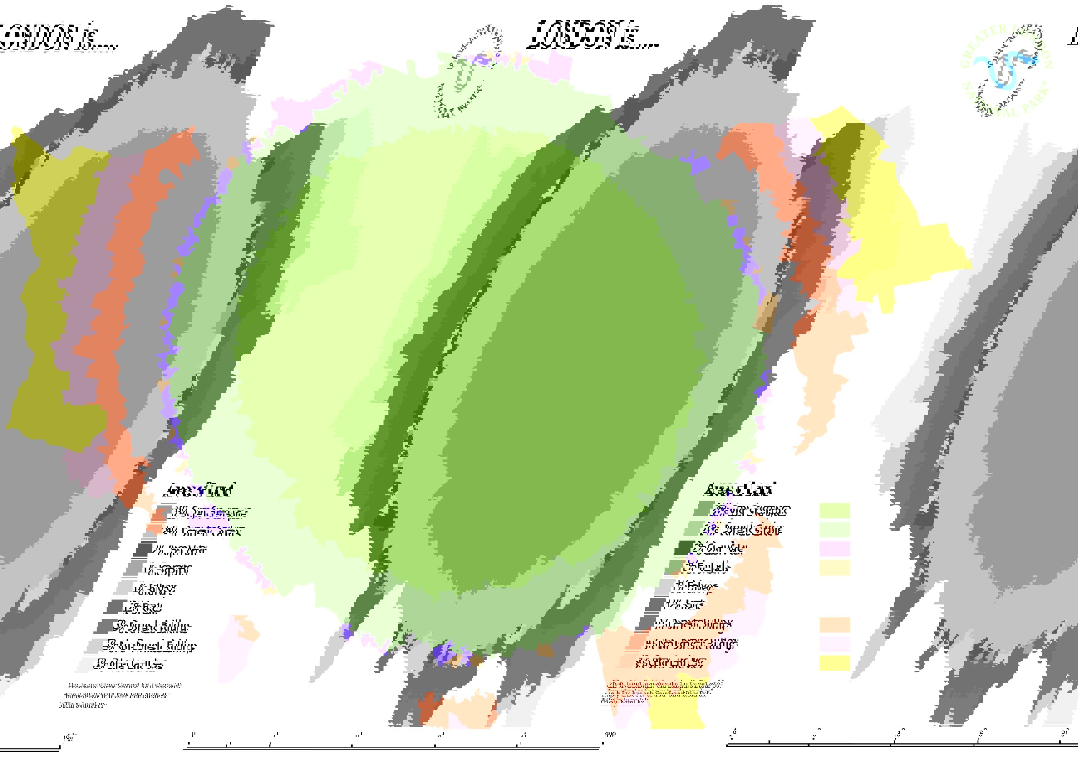
London’s geography is complex and constantly changing, so no individual map can tell the whole story, but we will explore some of the key maps which have brought new insights into the city, and could also be used as resources within the geography classroom.
Particular reference will be made along the way to the London Mapper project. Visit London Mapper website, and the resources will also be connected with the key ideas that form part of the London Curriculum Geography materials. Visit the Greater London Authority website.
The module is made up of five sections, each of which corresponds to a session (which could be one lesson or several depending on your school context, and the extent to which you wish to develop the resources further, or allow for students to ‘guide’ the progress through the unit). The sessions are designed to be followed in chronological order, but they are also self-contained, so you have the flexibility to follow them in any particular order, or to use just one or two alongside other materials. Each one is driven by an enquiry question contained in the lesson title.
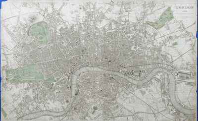
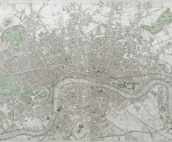
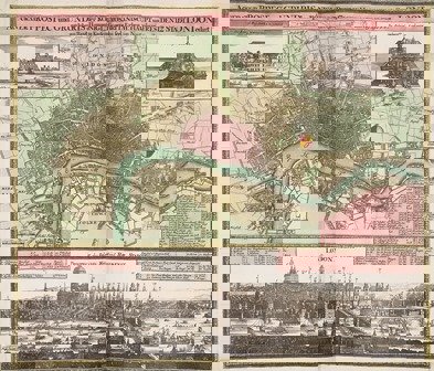
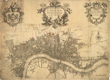
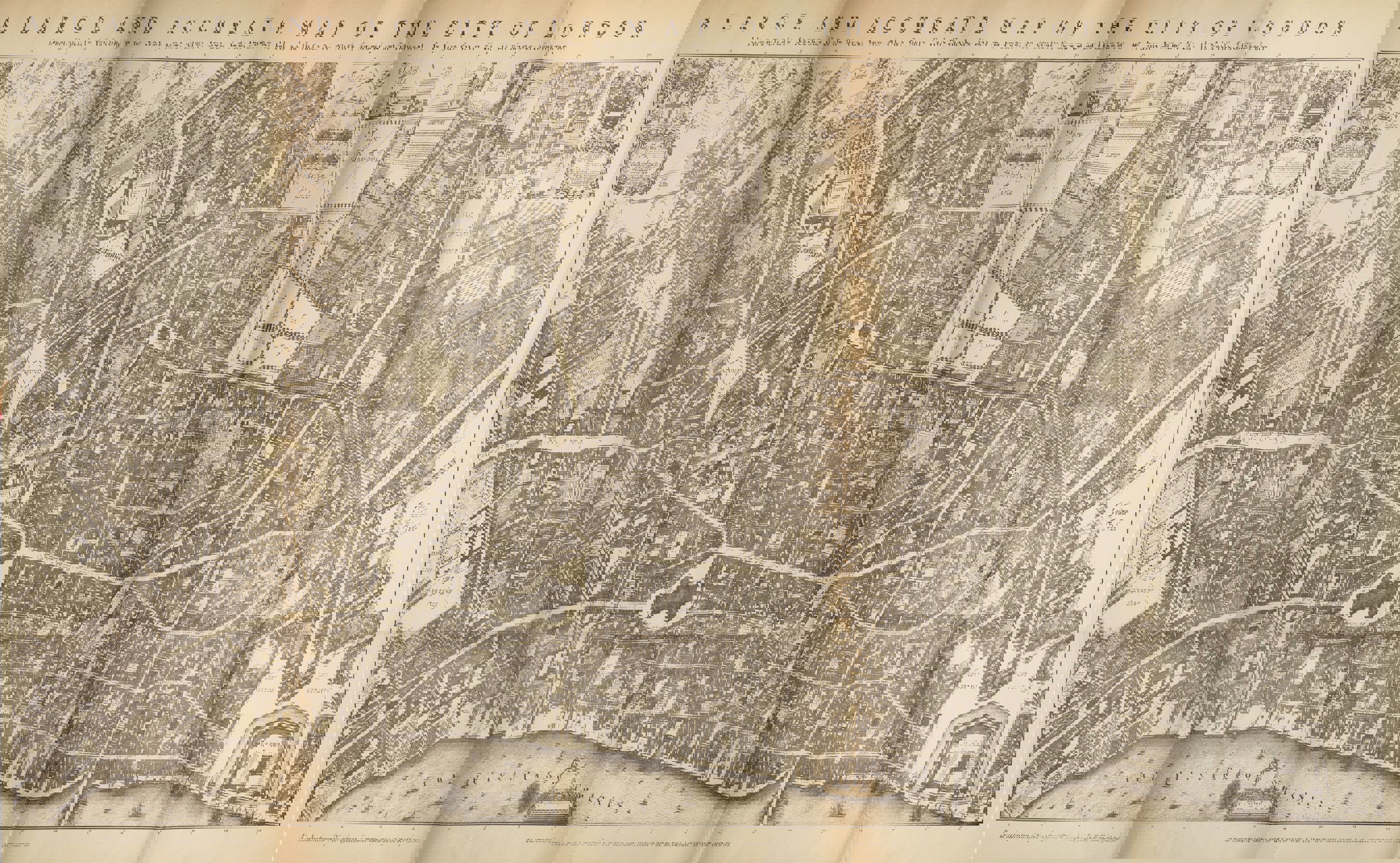
Past Maps
How has London been represented in the past?
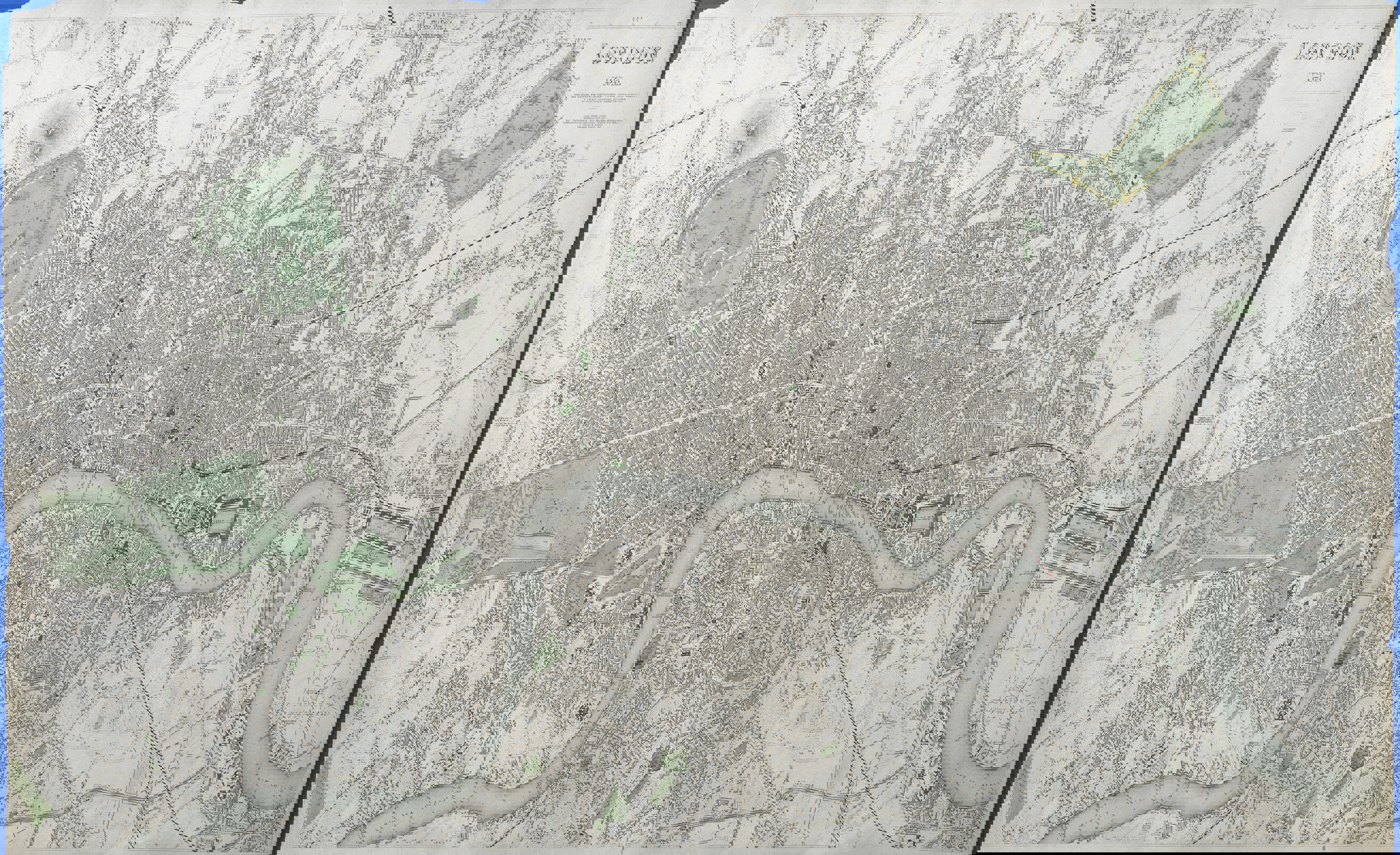
Changing Maps
What processes have changed London, and how have maps themselves changed?
Present Maps
How can we get a different view of London?
Future Maps
What will maps of London look like in the future?
Maps that aren’t maps
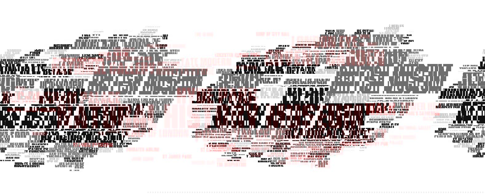
How can we ‘show’ what London looks like without a map?
Doing the knowledge
How well do you know London?
The sixth and final section suggests an assessment or opportunity for a final student presentation which draws on the idea of the London cabbies who have to ‘do the knowledge’ to prove that they are familiar with London’s geography before they get their license. For schools in London this could also be connected with a fieldwork activity, or a ‘virtual’ experience using mapping or visualisation tools.
Session six forms an optional assessment to come at the end of the unit, which can be followed as a whole, or in sections.
Each lesson is linked with the Curriculum 2014 documents for KS3, and also to the aims of the London Curriculum for Geography.
The GLA has produced a London Curriculum for KS3 which includes units of work written by the Society about London’s geography. View these the materials.
About the author
Alan Parkinson worked for the Geographical Association as Secondary Curriculum Development Leader between 2008 and 2011, after teaching for over twenty years in Norfolk and Derbyshire. He developed the popular GeographyPages website in 2001, and received the Ordnance Survey Award for 'excellence in secondary geography teaching' from the RGS-IBG in 2008. He is currently a freelance author and geographer as well as a geography teacher.