Starter
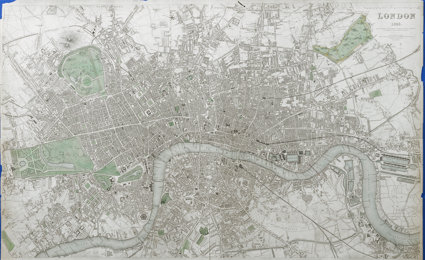
How is London changing?
Show a slideshow of images of London. Go to Flickr website
Which areas of London do students think are changing the fastest? They might make reference to the Queen Elizabeth Olympic Park and the changes that have taken place there.
Discussion points:
What challenges does this rate of change create for mapmakers?
What new ways of seeing the city are there?
One addition to the mapping that is available is the growth in 3D mapping. This was recently added to Google Maps as an option. Show a series of views of London using the 3D mapping. Click the Tilt View and add EARTH when in Google Maps, or enable 3D buildings in Google Earth.
Could discuss advantages and disadvantages of this 3D imagery over a traditional 2D paper map.
Main Activity
Are the changes taking place in London similar to those taking place in cities around the world?
Are all cities changing in the same ways?
Urban Observatory allows for a comparison between London and a range of other large urban areas.
Students will be split into teams and asked to compare London with two other cities, and then report back to the rest of the group.
Use the Urban Observatory sheet, which explains how to use the site along with a sheet for recording comparisons, which can be made available to students as a hard copy or in digital format.
Summary discussion and feedback
How are the cities changing, and how does London compare to these other cities?
Plenary
Fast-forward 100 years.
Think about the changes that have already taken place in mapping over the last 100 years.
We have moved from maps which were printed on materials such as calfskin and paper to those which are digital and can be viewed and manipulated with a fingertip.
We have moved from maps made by specialists to those made by people with no qualifications or training, who may be as young as primary students.
We have moved from maps which were only available to the very wealthy to those which are available free of charge to anyone.
What will maps of the future look like?
Design one on the Maps of the Future sheet
Students should refer to other maps which they have seen during this unit, and explain where they may have borrowed an idea to use in their plans for the Maps of the Future.
Extension activity
ViziCities is a computerised 3D model of the city
You can visit the city. Go to the Daily Mail website
Here is part of Knightsbridge – can you find the Royal Albert Hall? Go to ViziCities website
If you can, you should be able to find the Royal Geographical Society (with IBG).
File nameFiles
File type
Size
Download