Follow up
The material in the last three lessons is designed to give students an insight into three less well-known Chilean volcanoes and the different methods used to study the volcano, focusing particularly on gas plume.
Often data collection is designed to help mitigate hazards, therefore the following tasks are designed to help you think about the application of the fieldwork to the hazards and management posed by the research project.
Task one – Project summary
Use an A3 piece of paper to complete a sequence of investigation outlining the work completed during this study. At each part of the sequence give a description summarising that part of the study.
The sequence should include:
-
Aim
-
Theoretical background
-
Location
-
Methodology
-
Data presentation
-
Analysis
-
Conclusion
For an evaluative comment suggest how the researchers could have improved the study.
Think about how this data could be used to assess volcanic hazards?
The full researchers study outline is shown in the Field Report.
Task two - Managing volcanic hazards at Villarrica
For this task you will need to refer to the following information:
-
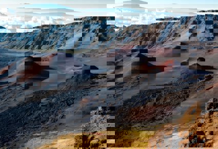
Photographic casebook of Chilean volcanoes
-
Location map of Villarrica
-
Hazards booklet
-
Satellite images of Villarrica
-
Topographic Map of Villarrica
Read the resources and prepare some notes on the hazards faced by the people of Villarrica based on the following questions:
-
Where do lahars originate, and which route did they follow?
-
Why did they follow those paths? How do they relate to the slope of the terrain?
-
Describe the overall topography of the Villarrica region?
-
Propose three locations for a new town (to replace the hazardous Villarrica). Give the advantages and disadvantages (i.e.: proximity to the volcano’s summit, average slope, existence of natural barriers, etc.)
-
Consider the paths for the new communication/evacuation routes. Remember that these should follow areas of low gradients, preferably far away from the volcano
-
After deciding on the safest location, plot the new town site and proposed roads on the topographic map provided
Produce a report to answer the following questions to assess the hazards associated with hazards at Villarrica:
-
Explain and discuss the proposed location of the new town and the paths for the communication/evacuation routes
-
What do urban planners generally consider while dealing with natural threats? Can you think of some factors that they would consider under a flooding river scenario? What about earthquakes?
-
Can you think of any types of barriers that could be emplaced along the volcano’s flanks for preventing lava flows and/or lahars from reaching the town? What would these diverting structures look like, and where would you put them?
-
Why is it important for people from different fields (i.e.: volcanologists, urban planners, engineers, etc.) to work together for achieving a common goal?
Further Reading
Read this journal article which shows how urban areas manage the impact of volcanic hazards in New Zealand.