
Impact of geography
Explore the impact of geography through our case studies and resources.
Find an impact case study

Transforming time: Understanding climate change and human history using IntCal radiocarbon calibration
Research has converted radiocarbon calibration data into calendar years.

New measurements of trees and forests: Improving global observations for climate and carbon studies and extending public understanding
Research has generated new 3D measurements of trees to improve calculations of forest carbon stocks.

Generating geographic data to inform policy, social welfare, and learning for tackling health and social inequalities
Geographic data has produced policies on health and social inequalities.

Enhancing the identification, protection and restoration of blanket bog in the UK and Spain
Research has improved monitoring and management of peatlands.
Small area data: Looking towards a 2021 census
This 2014 collection of short case studies demonstrates the value of small area census data, and advocates for retaining the method in the the 2021 Census

Connecting the unconnected communities
Internet service provider Quickline worked with emapsite, a location services platform, to connect business and communities to super-fast broadband.
Improving access to information in emergency response situations
Geographic information is being used to help humanitarian and government organisations visualise data about disasters to predict, prepare and respond to emergencies in Cambodia.
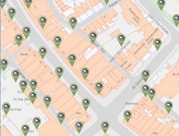
Using unique property references for effective asset management in Conwy
Conwy Borough Council is using Unique Street Reference Numbers (USRN) to keep its asset management system up to date and help public services run more efficiently.

Preserving the nation’s digital map heritage
The British Library, together with the UK’s five other Legal Deposit Libraries, is working with thinkWhere to preserve the nation’s extensive catalogue of digital map datasets for future generations.

Improving urban environments by revitalising degraded rivers
New techniques for the restoration of rivers have aided urban regeneration and improved local environmental quality.

Intelligent highway management: How spending on local roads and footpaths is decided
Manchester City Council worked with Gaist to ensure it had the right data to secure additional investment for maintaining its highways network to support the city’s growth ambitions.
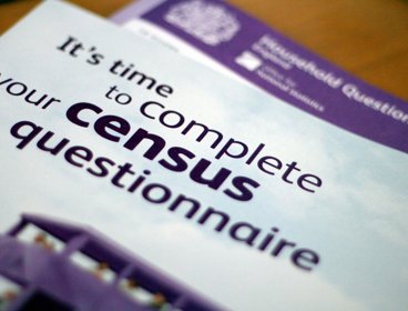
Revolutionising the census with new methods for population data in the UK
Improved techniques for gathering and structuring data about local areas has enhanced the usefulness of the census and enabled better use of population data.