
Impact of geography
Explore the impact of geography through our case studies and resources.
Find an impact case study
Spatial policy support systems
King’s College London’s spatial policy support systems have enhanced conservation decision-making by organisations across 183 countries.
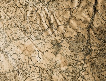
Projection Augmented Relief Models
The Projection Augmented Relief Model technique has changed the way geographic information is communicated and understood by organisations.

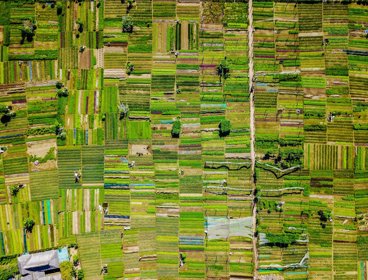
Innovative acquisition, analysis, and visualisation of geodemographic data
Researchers have provided critical evidence to enable the effective use of data to benefit government, economy and society.
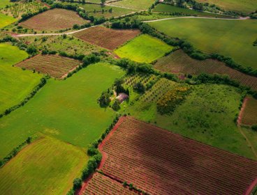
Changing the approach of water management across Ireland through the uptake of field-scale diffuse pollution pressure mapping
Research has changed the way diffuse phosphorus pollution is identified.
Strengthening space-based terrestrial vegetation monitoring capability with the European Space Agency
Research has improved capability to monitor global vegetation from space.
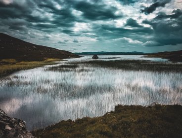
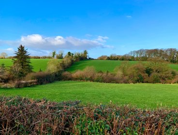
Enhancing the identification, protection and restoration of blanket bog in the UK and Spain
Research has improved monitoring and management of peatlands.

Putting a price on the priceless: valuing nature?
This event explored the science, principles and impacts of how natural assets are valued for conservation and landscape management in the UK
Coordinating contributions from volunteer mappers for rapid disaster response
The Humanitarian OpenStreetMap Team (HOT) and thinkWhere are using open source software, open data and cloud technology to coordinate a global network of volunteers providing mapping for disaster preparation, response and recovery.
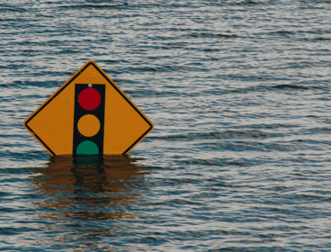
Improving access to information in emergency response situations
Geographic information is being used to help humanitarian and government organisations visualise data about disasters to predict, prepare and respond to emergencies in Cambodia.
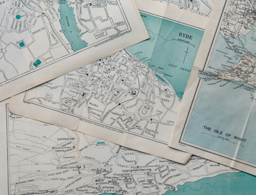
Using unique property references for effective asset management in Conwy
Conwy Borough Council is using Unique Street Reference Numbers (USRN) to keep its asset management system up to date and help public services run more efficiently.
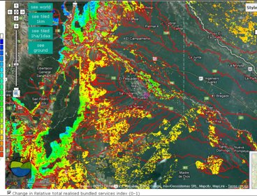
Mapping the value of nature
The Co$ting Nature policy support tool helps to map the relative value provided to humanity by protected areas and other ecosystems.

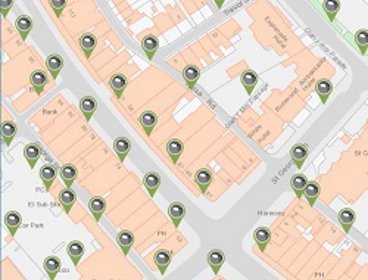
South Ayrshire Council uses Story Maps to boost engagement
South Ayrshire Council is using interactive maps to make information about local issues more accessible, meaningful and engaging.