
Downloads
Ecosystem services, such as the provision of clean water and global climate regulation, often go unrecognised and unquantified in economic decision making. The Co$ting Nature policy support tool provides maps of these services so that the ecosystem service values of existing and proposed protected areas can be understood and compared.
Challenge
The world’s protected ecosystems have obvious intrinsic value to the people living near them and for the landscapes and species they preserve, but they also provide quantifiable economic benefits to humanity. These are known as ‘ecosystem services’ and include the provision of reliable clean water, and crop production, the regulation of the global climate and include the role of supporting services such as soil formation. These are all critical to the delivery of food, water and energy but which are often go unrecognised and unquantified in economic decision-making.
Solution
Co$ting Nature, a web-based geographical information system that combines satellite-derived datasets was developed by Professor Mark Mulligan and a team of researchers at King’s College London, working with Community Interest Company AmbioTEK, in partnership with the UN Environment World Conservation Monitoring Centre.
It combines datasets on carbon uptake, rainfall, terrain and urban extents with data on human populations, protected areas and carbon stocks. Policy insight and support for decision-making is provided by ‘neo-geo’ interactive maps, which are based on relative valuations of ecosystem services. These allow conservation and development organisations to understand the values of existing and proposed protected areas and the implications of their conservation or loss.
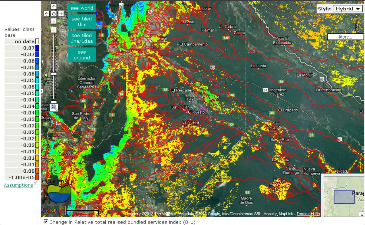
A screenshot from the tool: (http://www.policysupport.org/costingnature)
Benefits
Visualising data
The tool’s interactive maps and data allows the testing of conservation strategies prior to implementation, and enables more strategic planning of agriculture and nature around cities, such as in support of population stresses on landscapes, habitat biodiversity, and clean water supplies.
Better decisions
Co$tingNature was used in the COMPANDES project led by Professor Mulligan, which aimed to identify effective drainage basin management mechanisms in the Andes. Co$tingNature was used to place a high-ecosystem services case study site in the national context and identify areas of particular importance, which contributed to the project’s aims of developing Benefit Sharing Mechanisms for drainage basins.
This case study was originally published by the Society in 2011 and was updated in 2024
Share this case study
This is an open access article under the terms of the Creative Commons Attribution License (CC BY NC 4.0), which permits use, adaptation, distribution and reproduction in any medium or format, provided the original work is cited and it is for non-commercial purposes. Please contact us for other uses.
How to cite
Royal Geographical Society (with IBG) (2019) Mapping the value of nature. Case study. [online] Available at: https://rgs.org/valueofnature Last accessed on: <date>