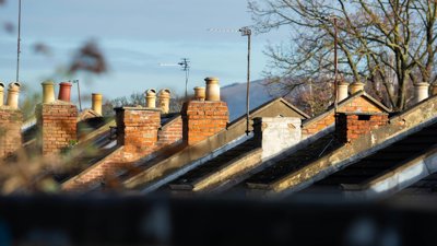
Mitigating and adapting climate risks to properties and neighbourhoods
Working with Liverpool-based housing association, Livv Housing Group, Map Impact is helping to improve understanding of climate risks to properties and neighbourhoods.
Issue
Climate change is causing longer, more intense heatwaves, but many buildings and neighbourhoods are unprepared, increasing health risks.
The property sector has focused mainly on cold-weather issues like energy efficiency and fuel poverty, with far less attention given to the dangers of extreme heat – such as overheating and health impacts.
Approach
Working with Liverpool-based housing association, Livv Housing Group, Map Impact collected satellite thermal imagery between 2021-2023 of Livv’s 13,000 homes across Liverpool. Using this data, Map Impact analysed land surface temperature, patterns and trends in hot weather conditions.
This highlighted areas and properties most affected by the Urban Heat Island effect, (where built-up environments experience higher temperatures than surrounding areas).
Each property was then assigned a heat-risk score of Low, Medium, or High, providing a quantifiable measure of vulnerability to extreme heat across their properties.
Impact
This analysis strengthened Livv Housing Group’s climate-risk modelling, which had previously accounted for other climate hazards but not extreme heat, and directly informed the organisation’s net-zero strategy.
The analysis showed that 5% of Livv’s housing stock falls within a very high heat-risk category, allowing clear identification of areas where direct action is needed, such as green spaces and investing in climate smart building.
In addition, the mapping supported the targeted integration of green infrastructure, delivering wider social and environmental benefits. These interventions are expected to improve air quality, increase outdoor thermal comfort, and enhance residents’ mental well-being through access to greener neighbourhoods.
Read the full case study
- Organisation: Map Impact
- Read the case study: Housing climate risk case study