Supporting safer travel by mapping streetlights across the UK
Summary
New data by Ordnance Survey (OS) highlights the brightest and darkest roads across the UK, helping to support safer walking and identify areas where more streetlights are needed.
Issue
Streetlights play a crucial role in enhancing safety, improving visibility, and deterring crime within neighbourhoods and communities. However, the prevalence of streetlights across the UK varies which can impact safe routes accessible to residents.
Approach
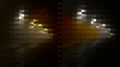
Ordnance Survey captured aerial imagery of streetlights, mapping over six and a half million streetlights located along publicly accessible roads and paths across the UK. This produced the first national dataset of this type.
Further analysis of streetlights categorised the type of lighting – indicating whether roads are fully lit, mostly lit, mostly unlit and fully unlit.
Impact
Showing the position of streetlights helps local councils and service providers to identify safe walking and cycling routes to important services such as hospitals, train stations and schools.
Identifying safer streets also contributes to England’s Active Travel policies through encouraging more sustainable forms of transport such as walking or cycling as opposed to driving.
This research also shows the need for new street lighting where safe routes are currently limited, enabling more effective use of local transport and planning budgets.
More information
Source: Ordnance Survey.