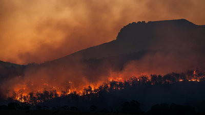
Join us for an insightful webinar on how the Climate Resilience Decision Optimiser (CReDO) project is tackling real-world cross-sector data challenges to build the resilience of critical national infrastructure in the face of extreme weather events.
You will learn:
- Why solutions like CReDo are needed, and how we plan to scale.
- What is CReDo, and who is it for?
- How real-world use cases from across the energy, water and telecommunications sectors are being addressed within the CReDo platform.
Meet our speakers
-
Dr Elliot Christou - CReDO Programme Lead, Connected Places Catapult
-
Justine Webster - Service Governance & Insights Manager, BT Group
-
James Daniel - Innovation Project Manager, UK Power Networks
About digital twins
Digital twins are data models of places, systems or even a product, bridging the physical and digital domains. It's a technology in use today across multiple sectors.
Geography often lies at the core of these models with many digital twins used to test and explore real-world geographical issues. As the technology develops, considerations around data access, safe and ethical data sharing, standards and interoperability are central to realising the social, environmental and economic benefits offered by a data-enabled ecosystem.
For Ordnance Survey, we recognise that as national mapping service for Great Britain we have a role to play in supporting the integration of geospatial data with digital twins to help drive innovation and market growth, as well as help improve infrastructure management and understanding of risks.
Join us as we explore what makes a digital twin, the challenges and opportunities they present, and examine case studies which demonstrate how data and technologies are used to simulate and accurately represent the real world, transforming industry and government, providing deeper insights and enabling proactive decision-making.
- Webinar

Professional Pathway introductory webinar – August
Join this webinar to learn more about the Professional Pathway. We will discuss the programme’s framework, highlight key professional development activities and guide you through the application process.
OnlineProfessionalsWednesday 5 August 2026 - Webinar
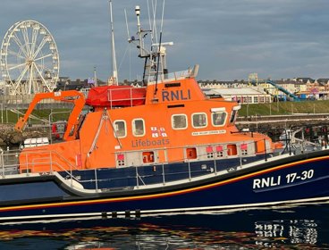
Understanding and communicating risk through geospatial applications
Hear from the Royal National Lifeboat Institution (RNLI) geospatial team on the range of tools developed to support risk assessment and decision-making across the organisation.
OnlineProfessionalsWednesday 9 September 2026 - Webinar
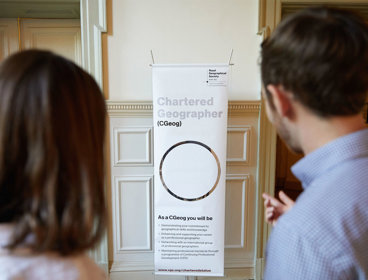
Chartered Geographer introductory webinar - September
Join this webinar on 16 September to learn more about the benefits of becoming a Chartered Geographer.
OnlineProfessionalsWednesday 16 September 2026