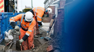
Join us for a webinar on the National Underground Asset Register (NUAR). This webinar will showcase how NUAR is set to revolutionise the way we manage underground infrastructure in the UK and its impact upon planning and land management by giving users access to data from all asset owners in a matter of seconds rather than days.
The Geospatial Commission is spearheading the creation of a digital map of underground pipes and cables, known as the National Underground Asset Register (NUAR). This initiative aims to transform the installation, maintenance, operation, and repair of buried infrastructure, significantly enhancing efficiency and safety. A BETA version of the software is currently live in England, Wales and Northern Ireland, with intent to be fully operational by 2025.
The NUAR is projected to contribute massively to economic growth in the UK and its essential to keep on top of its progress and benefits. As well as its impact upon the economy we will also explore its relevance to surveyors, construction and other elements of the built environment. Register now to secure your spot in this informative session.
Learning outcomes
- Gain a comprehensive overview of the UK National Underground Asset Register, including its purpose, scope, key features, and progress around its uses and development.
- Learn about the importance of having a National Underground Asset Register and the benefits it brings to various stakeholders, including utilities, construction firms, and government agencies.
- Understand the processes involved in data collection, integration, and management within the register, including the types of data collected and how they are standardised.
- Discover practical use cases and applications of the register in urban planning, infrastructure development, land management, and maintenance of underground assets.
- Identify common challenges in implementing, maintaining, and using an underground asset register and explore potential solutions and best practices.
This event has been organised in collaboration with the Geospatial Commission, the Association for Geographic Information (AGI), Royal Institution of Chartered Surveyors (RICS), Chartered Institution of Civil Engineering Surveyors (CICES) and The Survey Association (TSA).
About the speakers
- Chris Chambers: Leading the NUAR digital transformation programme at the Geospatial Commission.
- Dr David Hodkin: Policy lead, Department for Science, Innovation and Technology.
- Non-Society event
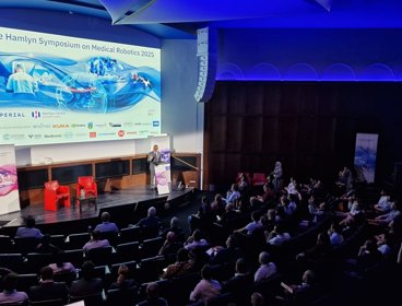
Hamlyn symposium on medical robotics 2026
The Hamlyn Symposium unites global experts to share innovations, foster collaboration, and advance medical robotics through workshops, demonstrations and networking.
LondonProfessionals23 Jun 2026 - 26 Jun 2026 - Webinar
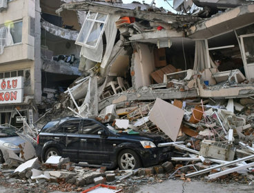
How do natural hazards become disasters?
Join this webinar with the Disaster Risk Management Professional Practice Group to explore how and why natural hazards become disasters, and how hazard scenarios can help support disaster risk reduction.
OnlineProfessionalsWednesday 1 July 2026 - Webinar
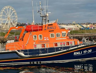
Understanding and communicating risk through geospatial applications
Hear from the Royal National Lifeboat Institution (RNLI) geospatial team on the range of tools developed to support risk assessment and decision-making across the organisation.
OnlineProfessionalsThursday 2 July 2026