In this webinar, we were joined by Natural England who provided an overview of the ‘Living England’ habitat mapping project, which develops a monitoring framework for habitat change over time.
The session:
- Explained how the Living England Habitat Map was created using extensive field data, satellite Earth observation data, LiDAR and AI to classify 16 broad habitat types across England.
- Described the project’s machine‑learning model, as well as how accuracy and reliability are communicated across the various habitats.
- Highlighted how the mapping project supports national environmental policy, Local Nature Recovery Strategies and many other government mapping projects.
- Covered the emerging work on detecting habitat change over time, outlining the ecological, seasonal and technical challenges of distinguishing real change from natural variability or model changes.
Watch the full recording below.
About the speaker
Dr Amy Woodget a Senior Data Scientist and the Communications and Engagement Lead for the Living England project. Amy has more than 18 years’ experience in Earth observation and geospatial science, including in academia, the public and private sectors.
Amy will be joined by Living England’s Senior Data Scientists and Technical Leads - Becky Trippier, Dr Kieran McCloskey and Dr Joe Jones.
Please note: The views of our speakers do not necessarily reflect the opinion of the Royal Geographical Society.
Note on captions
The Society aims to provide automatically-generated captions for all event recordings. The captions appear as text at the bottom of the video which you can toggle on and off.
The accuracy of automatically-generated captions varies depending on the audio quality, any specialist language used and the speaker. They are therefore are unlikely to be 100% accurate and the Society does not edit or correct automatically-generated captions.
- Webinar
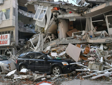
How do natural hazards become disasters?
Join this webinar with the Disaster Risk Management Professional Practice Group to explore how and why natural hazards become disasters, and how hazard scenarios can help support disaster risk reduction.
OnlineProfessionalsWednesday 1 July 2026 - Webinar
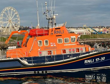
Understanding and communicating risk through geospatial applications
Hear from the Royal National Lifeboat Institution (RNLI) geospatial team on the range of tools developed to support risk assessment and decision-making across the organisation.
OnlineProfessionalsThursday 2 July 2026 - Discussion
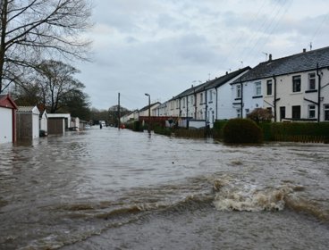
Forecasting surface water flooding in climate cange
This online panel, hosted by the RGS-IBG Climate Change Research Group, will hear from experts dicussing surface water flooding in a changing climate.
OnlineProfessionalsThursday 2 July 2026