

Impact of geography
Explore the impact of geography through our case studies and resources.
Find an impact case study
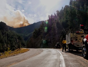
Earth Observation research enables use of satellite data to reduce impacts of wildfires
King’s College London’s research on Fire Radiative Power has enabled space agencies to adjust and develop satellites and instruments to better measure fires worldwide.
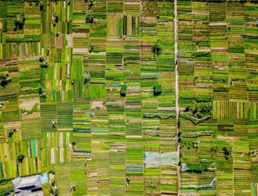
Strengthening space-based terrestrial vegetation monitoring capability with the European Space Agency
Research has improved capability to monitor global vegetation from space.
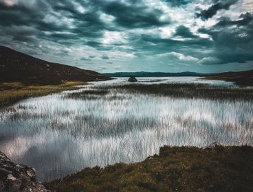
Enhancing the identification, protection and restoration of blanket bog in the UK and Spain
Research has improved monitoring and management of peatlands.

Bridging the skills gap to inspire the geospatial experts of the future
Scotland’s Spatial Information Service is working with the private, public, professional and educational sectors to inspire young people to embrace opportunities in geospatial information.

Connecting the unconnected communities
Internet service provider Quickline worked with emapsite, a location services platform, to connect business and communities to super-fast broadband.
Coordinating contributions from volunteer mappers for rapid disaster response
The Humanitarian OpenStreetMap Team (HOT) and thinkWhere are using open source software, open data and cloud technology to coordinate a global network of volunteers providing mapping for disaster preparation, response and recovery.
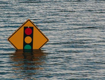
Improving access to information in emergency response situations
Geographic information is being used to help humanitarian and government organisations visualise data about disasters to predict, prepare and respond to emergencies in Cambodia.
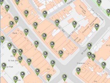
Using unique property references for effective asset management in Conwy
Conwy Borough Council is using Unique Street Reference Numbers (USRN) to keep its asset management system up to date and help public services run more efficiently.
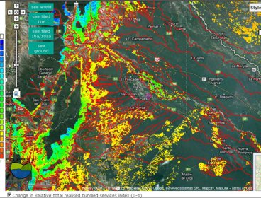
Mapping the value of nature
The Co$ting Nature policy support tool helps to map the relative value provided to humanity by protected areas and other ecosystems.

Making roads safer and saving money for councils
Using GIS to forecast the effect of cold weather on roads has improved safety and reduced cost for councils.

South Ayrshire Council uses Story Maps to boost engagement
South Ayrshire Council is using interactive maps to make information about local issues more accessible, meaningful and engaging.

Intelligent highway management: How spending on local roads and footpaths is decided
Manchester City Council worked with Gaist to ensure it had the right data to secure additional investment for maintaining its highways network to support the city’s growth ambitions.