
Impact of geography
Explore the impact of geography through our case studies and resources.
Find an impact case study
The future for rural mobility symposium
On Wednesday 27 March 2024 the Society co-hosted 'The future for rural mobility' symposium with The University of Hertfordshire's Smart Mobility Unit and Transport East.
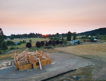
Government policy and homebuilding practices influenced by community-led housing
Research created a low-carbon housing model incorporating a pioneering mutual ownership approach.
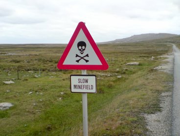
Improving the effectiveness and safety of mine detection
Mapping the magnetic properties of soils across England and Wales has assisted the Ministry of Defence in creating specifications for new mine detectors.
Coordinating contributions from volunteer mappers for rapid disaster response
The Humanitarian OpenStreetMap Team (HOT) and thinkWhere are using open source software, open data and cloud technology to coordinate a global network of volunteers providing mapping for disaster preparation, response and recovery.
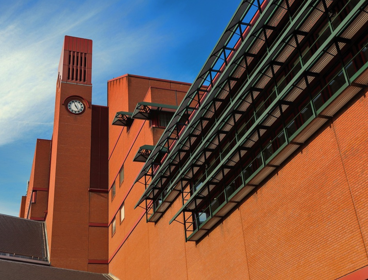
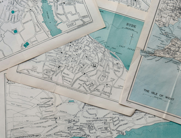
Preserving the nation’s digital map heritage
The British Library, together with the UK’s five other Legal Deposit Libraries, is working with thinkWhere to preserve the nation’s extensive catalogue of digital map datasets for future generations.
Arsenic: the geography of a global problem
A policy briefing outlining the problem of arsenic contamination and offering policy recommendations on the issue.
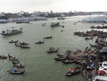
Collaborative approaches to tackling the climate emergency in Bangladesh
Fostering effective and engaged collaborative research on climate change in Bangladesh may help mitigate the country’s vulnerability, especially to sea-level rise.
Understanding and addressing fire, degradation and carbon emissions in Indonesia’s peatlands
Geographical research has highlighted and quantified the significant carbon emissions associated with fire, drainage and plantations in tropical peatlands, influencing policy, monitoring and rehabilitation worldwide.
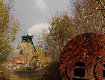
Tackling health inequality in former coalfield communities
Understanding geographical disparities and inequality in public health can help direct regeneration efforts in post-industrial areas.
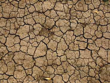
Developing household-scale metrics to tackle water insecurity
Research by geographers into household water insecurity is improving understanding and helping mitigate water insecurity, and developing flexible research tools for global use.
Using GIS to cut down on fatbergs and flooding in the Thames Valley
Thames Water used GIS to trace the sources of “fatbergs” and promote better oil and grease disposal

Using remote sensing and experimental innovation to understand, monitor and forecast wildfires
Satellite-based remote sensing technology helps to identify the scale of wildfires and their impact around the world.