Improving the effectiveness and safety of mine detection
Downloads
Challenge
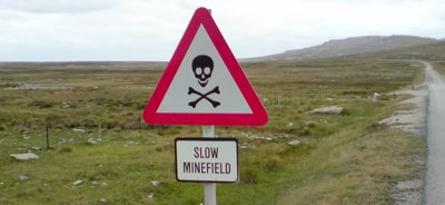
Approximately every 30 minutes a landmine explodes somewhere in the world, with an estimated 7,000 people killed or severely injured each year. Landmines hold entire communities hostage: they render agricultural land useless, prevent food and medical aid from reaching people in need, hinder the return of displaced communities, and hamper already difficult relief operations and reconstruction efforts in many affected countries. Although their use is now banned, the United Nations estimates that around 80 countries worldwide are still affected by up to 50 million unexploded mines.
Solution
Electromagnetic induction is the dominant detection method for identifying and clearing landmines by the Ministry of Defence and international humanitarian organisations. However, due to the soil’s own magnetic properties, highly magnetic soils may produce a signal similar to that of metal objects which makes it impossible to distinguish between landmines and the soil itself.
Professor John Dearing (University of Southampton) developed a method to distinguish these signals, which began by mapping the magnetic properties of soils across England and Wales. Reasons for variations in magnetism, such as local geological variables and weather, are now better understood. From this a mathematical model has been developed to predict likely soil magnetism without further sampling needed.
Benefits
Solving problems / Managing risk
New maps of soil magnetism for England and Wales will allow the Ministry of Defence to develop and test better designs for mine detectors and will be especially useful for developing detectors for use in highly magnetic soils. More effective detection is expected to reduce the high rate of maiming and death amongst mine clearance staff, which currently stands at one person for every 2,000 to 3,000 mines cleared.
This case study was originally published by the Society in 2011 and was updated in 2024.
Share this case study
This is an open access article under the terms of the Creative Commons Attribution License (CC BY 4.0), which permits use, distribution and reproduction in any medium, provided the original work is cited.
How to cite
Royal Geographical Society (with IBG) (2019) Improving the effectiveness and safety of mine detection. Case study. [online] Available at: https://rgs.org/minedetection Last accessed on: <date>