Collaborative Doctoral Research
We are part of the Science Museums and Archives Consortium, which each year awards three AHRC-funded collaborative doctoral studentships. We also partner with other Doctoral Training Partnerships.

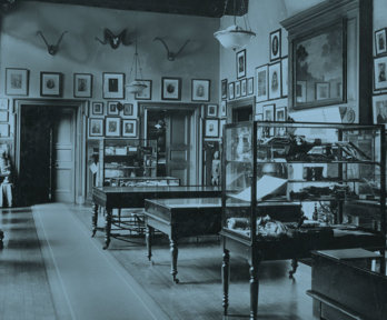
The geographical museum
The Geographical Museum: Making Knowledge through Objects. Research by Emma Yandle.
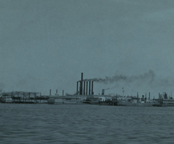
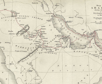
Mapping fossil colonialism
Mapping fossil colonialism in Asia, c. 1810–1914. Research by Shreya Khaund.
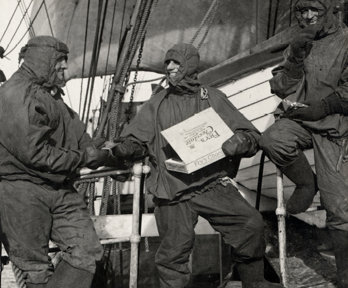
Mobilising chocolate
Mobilising chocolate: plants, pathogens, and prospectors, 1840-1950. Research by Mika Hyman.
Translating place
Orthography and the problem of place names at the Royal Geographical Society, 1830-1919. Research by Beth Williamson
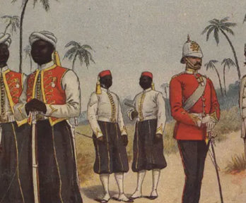
Colonial science and military service
The West India Regiments and circum-Atlantic networks of knowledge, c. 1815-1900. Research by Catriona Sharples.
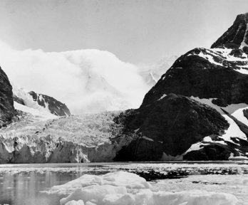
Halley Bay
Instruments of scientific governance? Historical geographies of Halley Bay, 1956-present. Research by Alice Oates
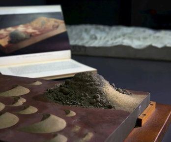
Relief models
The art of earth-building: Placing relief models in the culture of modern geography. Research by George Tobin.
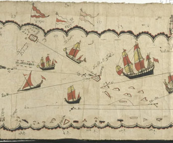
The Indigenous map
Native information, ethnographic object, artefact of encounter. Research by Joy Slappnig.
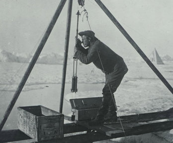
Circulating arctic science
Arctic science in circulation at the Royal Geographical Society c. 1880-1914. Research by Peter Martin.
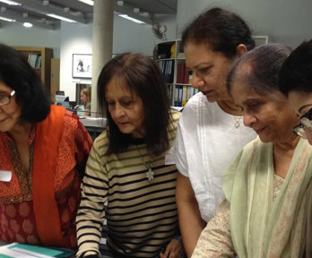
Family history, place and diaspora
Locating family, community and national geographies. Research by Chandan Mahal.
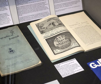
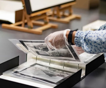
Geography in print
The cultural production, circulation, and reception of geographical knowledge at the Royal Geographical Society 1830–c.1930. Research by Ben Newman
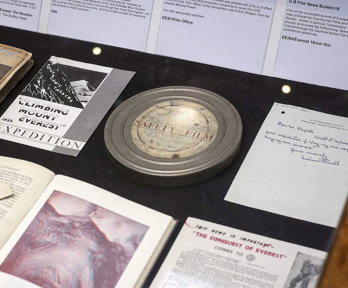
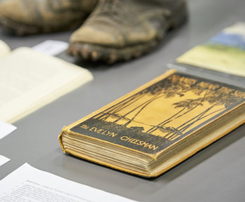
Expeditionary film
Geographical Science and Media Culture. Research by Jan Faull.
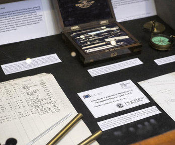
Instruments of exploration
Technologies of Geographical Enquiry, c. 1860-1939. Research by Jane Wess.
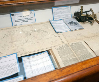
Armchair geography
Speculation, Synthesis and the British Culture of Exploration. Research by Natalie Cox.
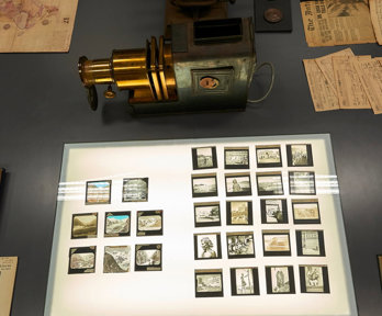
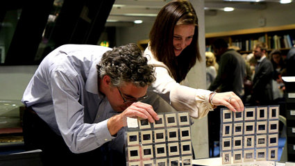
Geographical projections
Lantern slides and the making of geographical knowledge at the Royal Geographical Society c.1885-1924. Research by Emily Hayes.
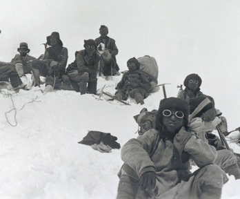
Terra incognita
Women on Royal Geographical Society-supported Expeditions, 1913-1970. Research by Sarah L. Evans.
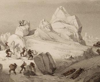
Weather imaginaries
The exploration of Indlandsis: a cultural and scientific history of ice sheets to 1970. Research by Jean de Pomereu.
Hidden histories
'Local knowledge and indigenous agency in the history of exploration: studies from the RGS-IBG Collections.' Research by Lowri Jones.