

Impact of geography
Explore the impact of geography through our case studies and resources.
Find an impact case study

Delivering smart ticketing in Great Britain
Research at the University of Plymouth has supported the rollout of contactless payment across bus networks.

Opening up digital fieldwork technology to staff and students in further and higher education
Research has helped solve pedagogic issues faced by staff and students when undertaking fieldwork.

The case for High Speed Rail: a regional, social and economic perspective
Contributors to this ESF event examined evidence from the social sciences which can contribute to debates on the future of new High Speed Rail lines in the UK

Understanding migration within the UK
Improving understanding of UK internal migration informs policy responses to local demographic change.

Bridging the skills gap to inspire the geospatial experts of the future
Scotland’s Spatial Information Service is working with the private, public, professional and educational sectors to inspire young people to embrace opportunities in geospatial information.

Connecting the unconnected communities
Internet service provider Quickline worked with emapsite, a location services platform, to connect business and communities to super-fast broadband.
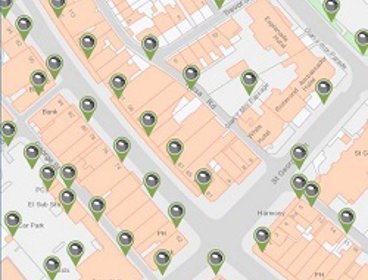
Using unique property references for effective asset management in Conwy
Conwy Borough Council is using Unique Street Reference Numbers (USRN) to keep its asset management system up to date and help public services run more efficiently.

Making roads safer and saving money for councils
Using GIS to forecast the effect of cold weather on roads has improved safety and reduced cost for councils.

Spatial Hub: Turning local government data into self-sustaining assets
Local government organisations in Scotland are using the Spatial Information Service's Spatial Hub to share and unlock the potential of local government data.

Using remote sensing and experimental innovation to understand, monitor and forecast wildfires
Satellite-based remote sensing technology helps to identify the scale of wildfires and their impact around the world.

Living Legacies highlights the untold story of WW1 in Northern Ireland
Innovative techniques to visualise geographical and historical information aided commemoration of contested and underappreciated WW1 histories.

Using geospatial data techniques to fight disease and improve population estimates
GIS and survey methods for population and infrastructure data are supporting international development efforts and geospatial capacity in a number of countries.